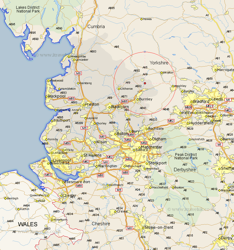
Lancashire Map Showing Location of Salterforth
Population: 625
District: Pendle
Easting: 389049 Northing: 444905
Latitude: 53.9 Longitude: -2.17
 = Salterforth
District: Pendle
Easting: 389049 Northing: 444905
Latitude: 53.9 Longitude: -2.17
= Salterforth
This Salterforth map below is supplied by Google. Use the tools in the top left corner to zoom into street level or zoom out for a road map, you may also need to zoom in to see Salterforth on the map. Click and drag the map to move around. If the map fails to load try and refresh your browser or zoom in or out (+ or -).
Update - it seems Google no longer allow people to use their maps for free! This Salterforth map sometimes loads and sometimes gives a error. I am working on a solution.
Closest 30 Towns or Cities to Salterforth (Population over 500)
Kelbrook 2.15km Barnoldswick 2.15km Foulridge 3.7km Colne 5.56km Barrowford 6.45km Laneshaw Bridge 6.45km Gisburn 7.52km Nelson 7.73km Brierfield 10.24km Burnley 11.95km Chatburn 12.16km Grindleton 13.1km Sabden 14.33km Clitheroe 15.73km Hapton 16.29km Padiham 16.29km Waddington 16.49km Altham 16.97km Simonstone 17.69km Whalley 18.83km Accrington 19.09km Clayton le Moors 20.54km Clayton le Moor 20.54km Clayton-le-Moors 20.54km Great Harwood 20.91km Langho 21.66km Church 21.92km Bacup 22.27km Rishton 23.4km Rawtenstall 23.52km