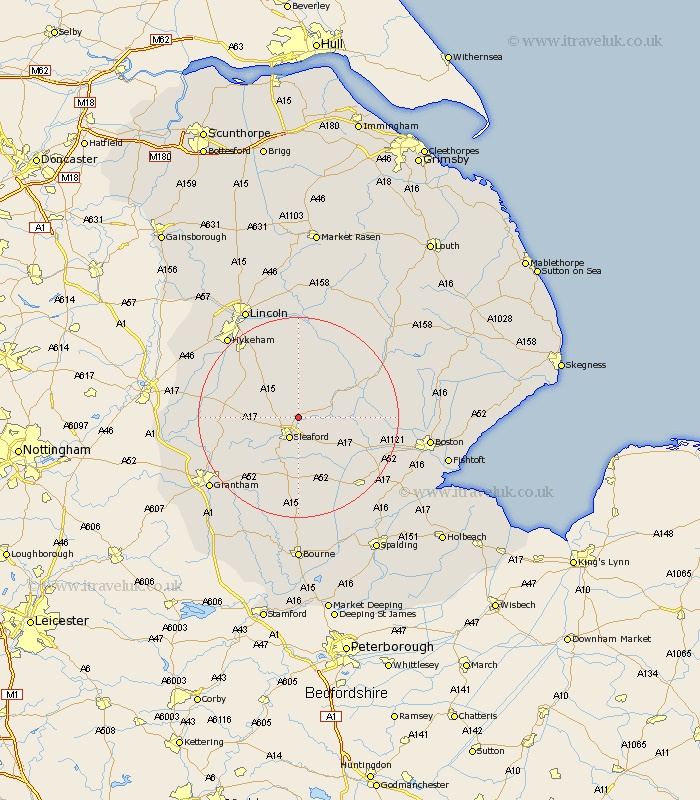
Lincolnshire Map Showing Location of Ruskington
Population: 3464
Area Size (ha): 125
District: North Kesteven
Easting: 508397 Northing: 349702
Latitude: 53.03 Longitude: -0.38
 = Ruskington
Area Size (ha): 125
District: North Kesteven
Easting: 508397 Northing: 349702
Latitude: 53.03 Longitude: -0.38
= Ruskington
This Ruskington map below is supplied by Google. Use the tools in the top left corner to zoom into street level or zoom out for a road map, you may also need to zoom in to see Ruskington on the map. Click and drag the map to move around. If the map fails to load try and refresh your browser or zoom in or out (+ or -).
Update - it seems Google no longer allow people to use their maps for free! This Ruskington map sometimes loads and sometimes gives a error. I am working on a solution.
Closest 30 Towns or Cities to Ruskington (Population over 500)
Leasingham 2.89km Heasingham 2.89km Brauncewell 3.82km Sleaford 4.79km Cranwell 5.57km Digby 5.67km Bloxholm 5.99km Bloxholme 5.99km Scopwick 7.5km Billinghay 8.69km Martin 9.86km Heckington 9.98km Metheringham 11.17km Hale 11.43km Great Hale 11.43km Navenby 11.59km Welbourn 11.74km Helpringham 12.44km Wellingore 12.47km Ancaster 12.47km Dunston 13.02km Fulbeck 13.37km Tattershall 14.32km Caythorpe 14.61km Nocton 15km Potter Hanworth 16.83km Billingborough 17.01km Woodhall Spa 17.1km Coningsby 17.19km Branston 17.58km