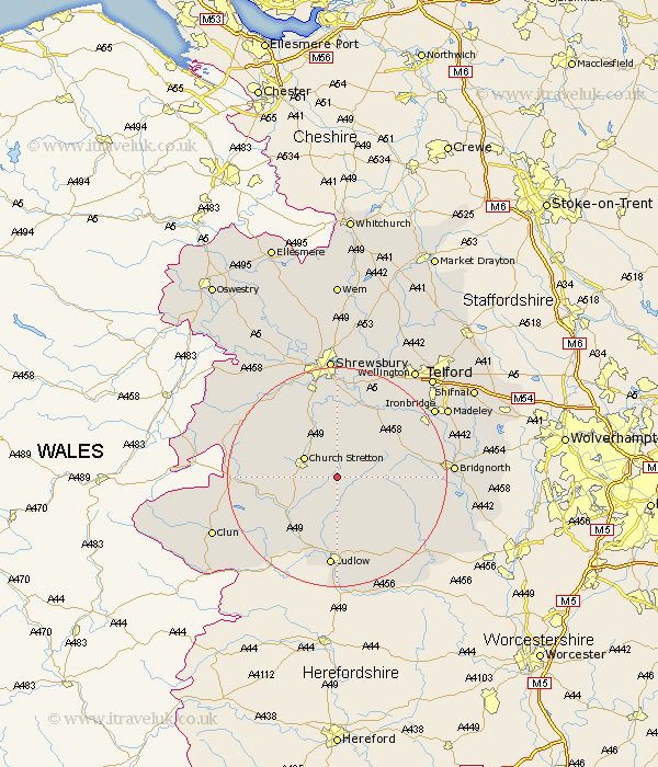
Shropshire Map Showing Location of Rushbury
Population: 603
District: South Shropshire
Easting: 351373 Northing: 291261
Latitude: 52.52 Longitude: -2.72
 = Rushbury
District: South Shropshire
Easting: 351373 Northing: 291261
Latitude: 52.52 Longitude: -2.72
= Rushbury
This Rushbury map below is supplied by Google. Use the tools in the top left corner to zoom into street level or zoom out for a road map, you may also need to zoom in to see Rushbury on the map. Click and drag the map to move around. If the map fails to load try and refresh your browser or zoom in or out (+ or -).
Update - it seems Google no longer allow people to use their maps for free! This Rushbury map sometimes loads and sometimes gives a error. I am working on a solution.
Closest 30 Towns or Cities to Rushbury (Population over 500)
Diddlebury 5.56km Church Stretton 6.74km Ditton Priors 10.32km Wistanstow 10.6km Craven Arms 12.18km Bitterley 13.74km Much Wenlock 14.59km Cressage 14.62km Berrington 14.87km Condover 14.99km Ludlow 16.72km North Lydbury 16.75km Lydbury North 16.75km Baystonhill 16.83km Pontesbury 18.61km Caynham 18.84km Barrow Bridge 19.27km Barrow 19.27km Broseley 19.3km Shelve 19.49km Minsterley 19.56km Great Hanwood 19.72km Hanwood 19.72km Bridgnorth 20.38km Ironbridge 21.3km Cleobury Mortimer 21.68km Shrewsbury 22.27km Wrockwardine 22.76km Bucknell 22.99km Madeley 23.12km