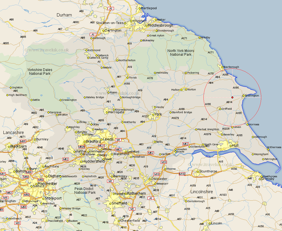
Yorkshire Map Showing Location of Rudston
Population: 390
Easting: 510105 Northing: 466595
Latitude: 54.08 Longitude: -0.32
 = Rudston
Easting: 510105 Northing: 466595
Latitude: 54.08 Longitude: -0.32
= Rudston
This Rudston map below is supplied by Google. Use the tools in the top left corner to zoom into street level or zoom out for a road map, you may also need to zoom in to see Rudston on the map. Click and drag the map to move around. If the map fails to load try and refresh your browser or zoom in or out (+ or -).
Update - it seems Google no longer allow people to use their maps for free! This Rudston map sometimes loads and sometimes gives a error. I am working on a solution.
Closest 30 Towns or Cities to Rudston (Population over 500)
Kilham 4.93km Bridlington 7.2km Great Driffield 7.83km Nafferton 8.59km Hunmanby 9.27km Bempton 11.25km Driffield 11.43km Flamborough 13.17km Beeford 13.37km Willerby 14.11km Filey 14.2km Skipsea 14.52km Dunnington 15.45km Sherburn 15.99km Cranswick 16.67km North Frodingham 16.93km Cayton 16.99km Eastfield 17.54km Seamer 18.33km Brandesburton 18.56km Brandsburton 18.56km Wetwang 18.77km Brompton 21.23km Leven 22.24km Hornsea 22.62km Snainton 22.84km Lockington 23.11km Yedingham 23.46km Scalby 23.5km Scarborough 23.54km