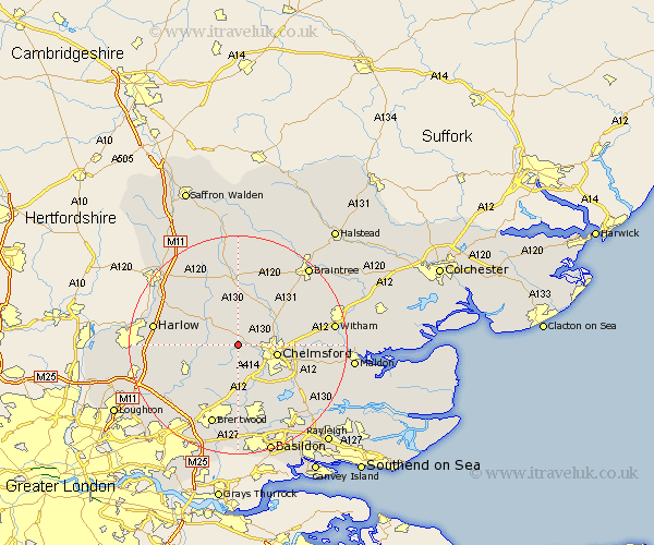
Essex Map Showing Location of Roxwell
Population: 1043
District: Chelmsford
Easting: 564500 Northing: 208438
Latitude: 51.75 Longitude: 0.38
 = Roxwell
District: Chelmsford
Easting: 564500 Northing: 208438
Latitude: 51.75 Longitude: 0.38
= Roxwell
This Roxwell map below is supplied by Google. Use the tools in the top left corner to zoom into street level or zoom out for a road map, you may also need to zoom in to see Roxwell on the map. Click and drag the map to move around. If the map fails to load try and refresh your browser or zoom in or out (+ or -).
Update - it seems Google no longer allow people to use their maps for free! This Roxwell map sometimes loads and sometimes gives a error. I am working on a solution.
Closest 30 Towns or Cities to Roxwell (Population over 500)
Writtle 5.06km Great Waltham 5.9km High Easter 6.01km Broomfield 6.03km Chelmsford 7.13km Margaretting 7.76km Galleywood 7.99km Fyfield 8.24km Little Waltham 8.85km Ingatestone 9.26km Great Baddow 9.77km High Ongar 9.77km Chipping Ongar 10.74km Felsted 11.18km Barnston 11.18km Kelvedon Hatch 11.55km Boreham 11.62km Stock 11.64km Great Leighs 11.79km Matching 12.05km Terling 12.74km Hatfield Heath 12.74km Little Baddow 12.76km Hatfield Broad Oak 13.03km Mountnessing 13.18km West Hanningfield 13.72km Danbury 13.8km East Hanningfield 14.75km Stanford Rivers 14.75km Dunmow 14.87km