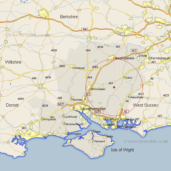
Hampshire Map Showing Location of Ropley
Population: 1526
District: East Hampshire
Easting: 464223 Northing: 130166
Latitude: 51.07 Longitude: -1.08
 = Ropley
District: East Hampshire
Easting: 464223 Northing: 130166
Latitude: 51.07 Longitude: -1.08
= Ropley
This Ropley map below is supplied by Google. Use the tools in the top left corner to zoom into street level or zoom out for a road map, you may also need to zoom in to see Ropley on the map. Click and drag the map to move around. If the map fails to load try and refresh your browser or zoom in or out (+ or -).
Update - it seems Google no longer allow people to use their maps for free! This Ropley map sometimes loads and sometimes gives a error. I am working on a solution.
Closest 30 Towns or Cities to Ropley (Population over 500)
Bramdean 4.38km West Meon 5.56km Medstead 5.68km Four Marks 6.03km New Alresford 6.11km Cheriton 6.11km Upper Farringdon 7.91km Faringdon 7.91km Farringdon 7.91km Froxfield 8.05km East Meon 9.91km Alton 10.18km Selborne 10.64km Corhampton 11.66km Steep 11.87km Petersfield 12.85km Greatham 12.95km Liss 13.34km Droxford 13.44km Buriton 14.51km Micheldever 14.79km Owslebury 14.81km Soberton 15.24km Kings Worthy 15.25km Upham 15.29km Dummer 15.54km Swanmore 15.94km Clanfield 15.94km Bishop's Waltham 15.98km Bishops Waltham 15.98km