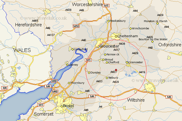
Gloucestershire Map Showing Location of Rodmarton
Population: 333
District: Cotswold
Easting: 394239 Northing: 198336
Latitude: 51.68 Longitude: -2.08
 = Rodmarton
District: Cotswold
Easting: 394239 Northing: 198336
Latitude: 51.68 Longitude: -2.08
= Rodmarton
This Rodmarton map below is supplied by Google. Use the tools in the top left corner to zoom into street level or zoom out for a road map, you may also need to zoom in to see Rodmarton on the map. Click and drag the map to move around. If the map fails to load try and refresh your browser or zoom in or out (+ or -).
Update - it seems Google no longer allow people to use their maps for free! This Rodmarton map sometimes loads and sometimes gives a error. I am working on a solution.
Closest 30 Towns or Cities to Rodmarton (Population over 500)
Avening 5.75km Minchinhampton 6.04km Chalford 7.99km Tetbury 8km Nailsworth 8.04km Cirencester 8.85km Cicester 8.85km Siddington 9.19km Horsley 10.34km Stroud 10.94km Woodchester 10.98km South Cerney 11.64km Cerney 11.64km North Cerney 12.27km Painswick 13.08km Ampney Saint Peter 13.91km Ampney St. Peter 13.91km Ampney 13.91km Ampney St Peter 13.91km Randwick 14.76km Stonehouse 15.65km Uley 16.09km Chedworth 17.32km Dursley 17.34km Coaley 17.63km Cam 18.47km Withington 19.04km Wotton-under-Edge 19.22km Wotton under Edge 19.22km Brockworth 19.4km