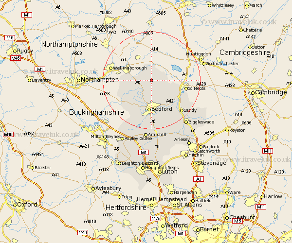
Bedfordshire Map Showing Location of Riseley
Population: 1284
District: Bedford
Easting: 504663 Northing: 262465
Latitude: 52.25 Longitude: -0.47
 = Riseley
District: Bedford
Easting: 504663 Northing: 262465
Latitude: 52.25 Longitude: -0.47
= Riseley
This Riseley map below is supplied by Google. Use the tools in the top left corner to zoom into street level or zoom out for a road map, you may also need to zoom in to see Riseley on the map. Click and drag the map to move around. If the map fails to load try and refresh your browser or zoom in or out (+ or -).
Update - it seems Google no longer allow people to use their maps for free! This Riseley map sometimes loads and sometimes gives a error. I am working on a solution.
Closest 30 Towns or Cities to Riseley (Population over 500)
Thurleigh 5.68km Bolnhurst 5.86km Sharnbrook 5.86km Milton Ernest 8.16km Wymington 9.26km Pavenham 9.34km Oakley 9.87km Stevington 10.86km Clapham 11.18km Bromham 11.63km Harrold 11.73km Carlton 11.73km Bedford 13.01km Biddenham 13.17km Great Barford 13.67km Turvey 14.66km Roxton 14.66km Willington 14.66km Cople 15.87km Tempsford 15.9km Blunham 16.52km Elstow 16.68km Kempston 16.72km Sandy 17.85km Wootton 18.85km Northill 19.57km Wilhamstead 20.51km Willshamstead 20.51km Wilshamstead 20.51km Wilstead 20.51km