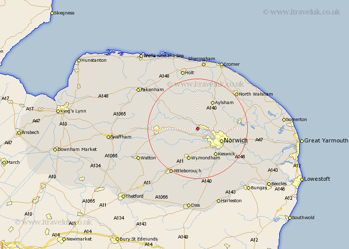
Norfolk Map Showing Location of Ringland
Population: 217
District: Broadland
Easting: 614018 Northing: 314255
Latitude: 52.68 Longitude: 1.17
 = Ringland
District: Broadland
Easting: 614018 Northing: 314255
Latitude: 52.68 Longitude: 1.17
= Ringland
This Ringland map below is supplied by Google. Use the tools in the top left corner to zoom into street level or zoom out for a road map, you may also need to zoom in to see Ringland on the map. Click and drag the map to move around. If the map fails to load try and refresh your browser or zoom in or out (+ or -).
Update - it seems Google no longer allow people to use their maps for free! This Ringland map sometimes loads and sometimes gives a error. I am working on a solution.
Closest 30 Towns or Cities to Ringland (Population over 500)
Taverham 2.16km Drayton 3.84km Costessey 5.01km Horsford 5.62km Witchingham 6.5km Hockering 6.99km Lyng 7.69km Horsham 7.86km Horsham St. Faith 7.86km Horsham St Faith 7.86km Horsham Saint Faith 7.86km Hellesdon 7.91km Reepham 8.15km Cawston 9.27km Hethersett 9.33km Haynford 9.72km Hainford 9.72km Mattishall 9.72km Hevingham 10.02km Bawdeswell 10.56km Norwich 10.57km Cringleford 10.84km Marsham 10.84km Spixworth 11.39km Aylsham 12.46km Horstead 12.9km Wymondham 13.4km Little Hautbois 13.45km Lammas 13.45km Lamas Little Hautbois 13.45km