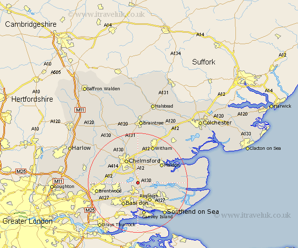
Essex Map Showing Location of Rettendon
Population: 1351
District: Chelmsford
Easting: 576390 Northing: 197709
Latitude: 51.65 Longitude: 0.55
 = Rettendon
District: Chelmsford
Easting: 576390 Northing: 197709
Latitude: 51.65 Longitude: 0.55
= Rettendon
This Rettendon map below is supplied by Google. Use the tools in the top left corner to zoom into street level or zoom out for a road map, you may also need to zoom in to see Rettendon on the map. Click and drag the map to move around. If the map fails to load try and refresh your browser or zoom in or out (+ or -).
Update - it seems Google no longer allow people to use their maps for free! This Rettendon map sometimes loads and sometimes gives a error. I am working on a solution.
Closest 30 Towns or Cities to Rettendon (Population over 500)
East Hanningfield 1.86km South Hanningfield 2.96km West Hanningfield 3.45km Woodham Ferrers 3.45km Bickacre 4.36km Bicknacre 4.36km Danbury 5.68km Rawreth 5.68km Wickford 6.02km Great Baddow 6.54km Purleigh 7.14km Ramsden Heath 7.83km Galleywood 7.99km Woodham Mortimer 8km Stock 8.05km Cold Norton 8.26km Rayleigh 8.73km Little Baddow 9.33km Fambridge 9.39km North Fambridge 9.39km Margaretting 9.91km Billericay 9.92km Hockley 10.13km Chelmsford 10.34km Basildon 10.91km Writtle 10.94km Hawkwell 10.95km Ingatestone 11.65km Malden 11.81km Maldon 11.81km