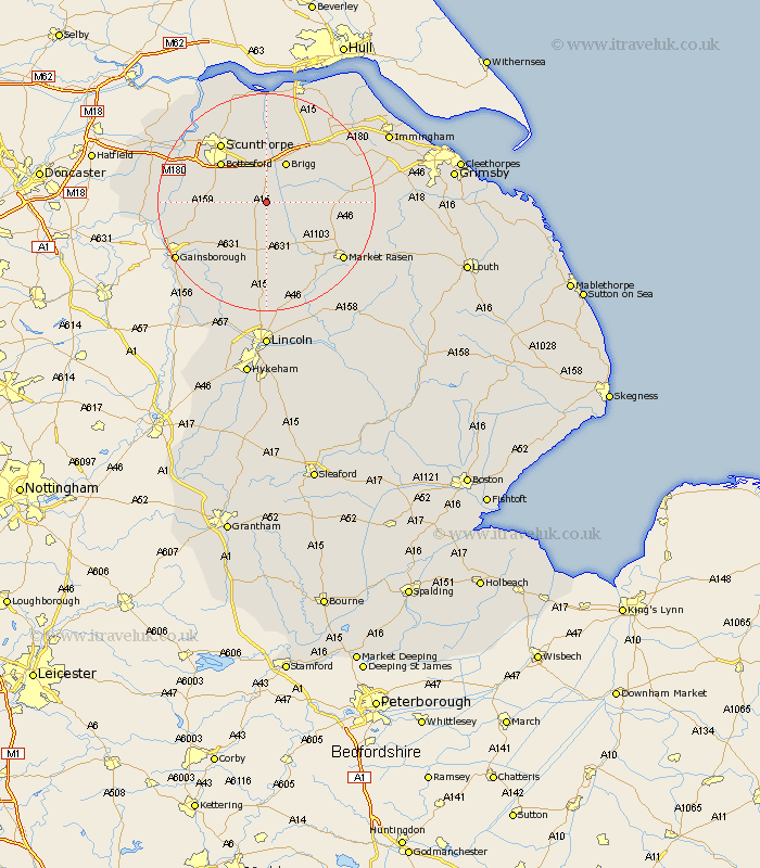
Lincolnshire Map Showing Location of Redbourne
Population: 386
Easting: 497313 Northing: 399538
Latitude: 53.48 Longitude: -0.53
 = Redbourne
Easting: 497313 Northing: 399538
Latitude: 53.48 Longitude: -0.53
= Redbourne
This Redbourne map below is supplied by Google. Use the tools in the top left corner to zoom into street level or zoom out for a road map, you may also need to zoom in to see Redbourne on the map. Click and drag the map to move around. If the map fails to load try and refresh your browser or zoom in or out (+ or -).
Update - it seems Google no longer allow people to use their maps for free! This Redbourne map sometimes loads and sometimes gives a error. I am working on a solution.
Closest 30 Towns or Cities to Redbourne (Population over 500)
Hibaldstow 1.86km Waddingham 3.86km Kirton in Lindsey 4.78km Kirton 4.78km Scawby 5.56km South Kelsey 6.87km North Kelsey 7.72km Scotton 7.94km Brigg 8.12km Scotter 8.82km Broughton 9.34km Messingham 9.51km Wrawby 10.27km Bottesford 10.7km Barnetby le Wold 12.79km Barnetby 12.79km Blyton 13.35km Scunthorpe 13.53km Caistor 14.34km Nettleton 14.34km Appleby 15km Owston Ferry 15.44km Owston 15.44km Middle Rasen 15.67km West Butterwick 16.13km Ingham 17.01km Burringham 17.06km Gunhouse 17.27km Gunness 17.27km Market Rasen 17.3km