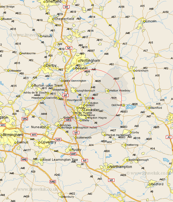
Leicestershire Map Showing Location of Rearsby
Population: 1047
District: Charnwood
Easting: 465290 Northing: 313703
Latitude: 52.72 Longitude: -1.03
 = Rearsby
District: Charnwood
Easting: 465290 Northing: 313703
Latitude: 52.72 Longitude: -1.03
= Rearsby
This Rearsby map below is supplied by Google. Use the tools in the top left corner to zoom into street level or zoom out for a road map, you may also need to zoom in to see Rearsby on the map. Click and drag the map to move around. If the map fails to load try and refresh your browser or zoom in or out (+ or -).
Update - it seems Google no longer allow people to use their maps for free! This Rearsby map sometimes loads and sometimes gives a error. I am working on a solution.
Closest 30 Towns or Cities to Rearsby (Population over 500)
Hoby 2.91km Queniborough 3.71km Queniboro 3.71km Syston 4.34km Sileby 4.49km Frisby-on-the-Wreak 4.85km Frisby 4.85km Frisby on the Wreak 4.85km Gaddesby 4.86km Rothley 6.99km Mountsorrel 7.86km Burton 7.9km Burton on the Wolds 7.9km Burton-on-the-Wolds 7.9km Birstall 7.91km Barrow 8.07km Barrow upon Soar 8.07km Wymeswold 8.66km Wimeswould 8.66km Quorndon 9.17km Twyford 9.63km Ab Kettleby 10.79km Abkettley 10.79km Woodhouse 11.23km Leiscester 11.47km Leicester 11.47km Melton Mowbray 11.53km Houghton on the Hill 11.62km Houghton 11.62km Houghton-on-the-Hill 11.62km