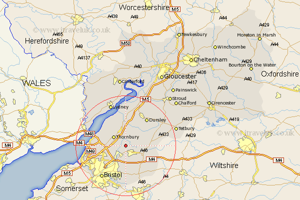
Gloucestershire Map Showing Location of Rangeworthy
Population: 552
Easting: 368812 Northing: 185462
Latitude: 51.57 Longitude: -2.45
 = Rangeworthy
Easting: 368812 Northing: 185462
Latitude: 51.57 Longitude: -2.45
= Rangeworthy
This Rangeworthy map below is supplied by Google. Use the tools in the top left corner to zoom into street level or zoom out for a road map, you may also need to zoom in to see Rangeworthy on the map. Click and drag the map to move around. If the map fails to load try and refresh your browser or zoom in or out (+ or -).
Update - it seems Google no longer allow people to use their maps for free! This Rangeworthy map sometimes loads and sometimes gives a error. I am working on a solution.
Closest 30 Towns or Cities to Rangeworthy (Population over 500)
Iron Acton 2.19km Tytherington 4.36km Frampton Cotterell 4.37km Winterbourne 4.46km Wickwar 4.96km Cromhall 5.56km Westerleigh 5.68km Thornbury 5.91km Chipping Sodbury 5.92km Charfield 6.02km Alveston 6.85km Falfield 7.41km Olveston 8.27km Hawkesbury 8.27km Almondsbury 8.28km Stoke Gifford 8.88km Patchway 8.88km Stone 9.33km Mangotsfield 9.34km Filton 9.8km Wotton-under-Edge 10.13km Wotton under Edge 10.13km Siston 11.12km Kingswood 11.65km North Nibley 12.03km Aust 12.1km Pilning 12.81km Berkeley 12.97km Wick 13.03km Dursley 13.73km