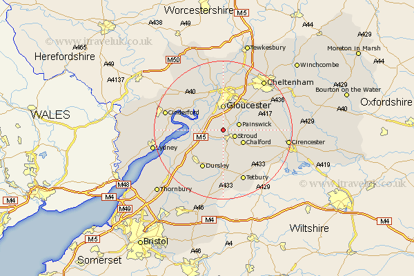
Gloucestershire Map Showing Location of Randwick
Population: 1402
District: Stroud
Easting: 382749 Northing: 207637
Latitude: 51.77 Longitude: -2.25
 = Randwick
District: Stroud
Easting: 382749 Northing: 207637
Latitude: 51.77 Longitude: -2.25
= Randwick
This Randwick map below is supplied by Google. Use the tools in the top left corner to zoom into street level or zoom out for a road map, you may also need to zoom in to see Randwick on the map. Click and drag the map to move around. If the map fails to load try and refresh your browser or zoom in or out (+ or -).
Update - it seems Google no longer allow people to use their maps for free! This Randwick map sometimes loads and sometimes gives a error. I am working on a solution.
Closest 30 Towns or Cities to Randwick (Population over 500)
Stonehouse 2.95km Stroud 3.91km Painswick 4.94km Woodchester 5.68km Quedgeley 6.01km Hardwicke 6.54km Chalford 6.83km Gloucester 7.41km Coaley 7.99km Frampton on Severn 8.03km Frampton 8.03km Frampton-on-Severn 8.03km Horsley 9.34km Minchinhampton 9.38km Nailsworth 9.89km Cam 10.12km Hucclecote 10.33km Uley 10.35km Slimbridge 10.73km Brockworth 10.89km Avening 10.91km Dursley 12.51km Awre 12.62km Newnham 13.14km Newham 13.14km Innsworth 13.41km Churchdown 14.17km Shurdington 14.41km North Nibley 14.42km Huntley 15.16km