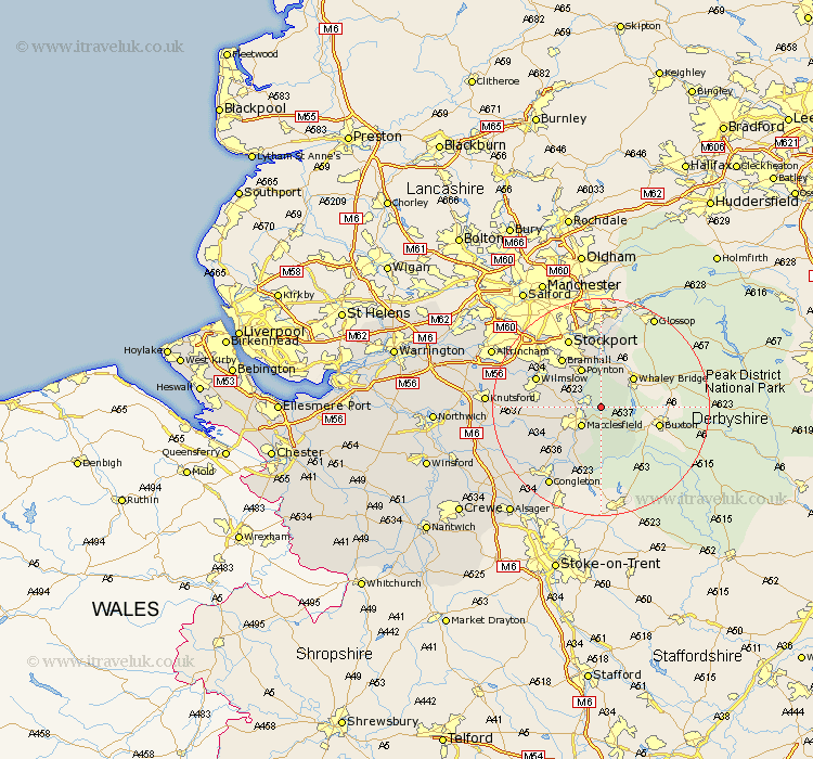
Cheshire Map Showing Location of Rainow
Population: 1282
District: Macclesfield
Easting: 395555 Northing: 376291
Latitude: 53.28 Longitude: -2.07
 = Rainow
District: Macclesfield
Easting: 395555 Northing: 376291
Latitude: 53.28 Longitude: -2.07
= Rainow
This Rainow map below is supplied by Google. Use the tools in the top left corner to zoom into street level or zoom out for a road map, you may also need to zoom in to see Rainow on the map. Click and drag the map to move around. If the map fails to load try and refresh your browser or zoom in or out (+ or -).
Update - it seems Google no longer allow people to use their maps for free! This Rainow map sometimes loads and sometimes gives a error. I am working on a solution.
Closest 30 Towns or Cities to Rainow (Population over 500)
Bollington 2.16km Macclesfield 4.98km Prestburg 5.54km Prestbury 5.54km Adlington 5.78km Poynton 8.13km Disley 9.27km Gawsworth 9.96km Alderley 11.08km Nether Alderley 11.08km Alderley Edge 11.23km Bramhall 11.41km Hazel Grove 11.6km Wilmslow 12.39km Marple 12.98km Chelford 13.43km Stockport 14.11km Romiley 14.87km Bredbury 15.2km Cheadle 16.36km Mobberley 17.02km Congleton 17.28km Hyde 18.57km Goostrey 18.59km Peover 19.2km Peover Superior 19.2km Knutsford 20.03km Longdendale 20.87km Sale 21.44km Altrincham 21.85km