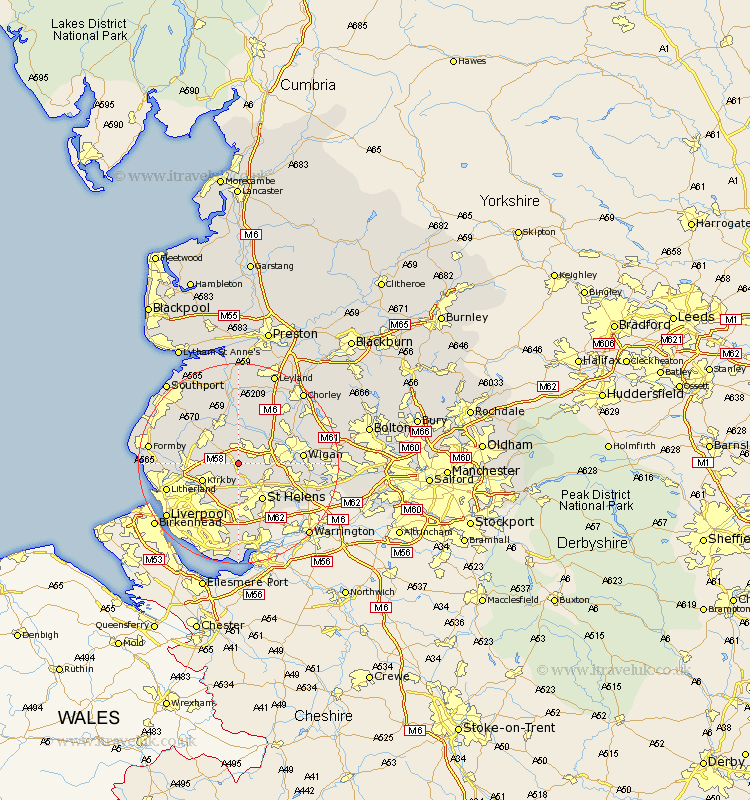
Lancashire Map Showing Location of Rainford
Population: 6161
Area Size (ha): 135
District: St. Helens
Easting: 346960 Northing: 402550
Latitude: 53.52 Longitude: -2.8
 = Rainford
Area Size (ha): 135
District: St. Helens
Easting: 346960 Northing: 402550
Latitude: 53.52 Longitude: -2.8
= Rainford
This Rainford map below is supplied by Google. Use the tools in the top left corner to zoom into street level or zoom out for a road map, you may also need to zoom in to see Rainford on the map. Click and drag the map to move around. If the map fails to load try and refresh your browser or zoom in or out (+ or -).
Update - it seems Google no longer allow people to use their maps for free! This Rainford map sometimes loads and sometimes gives a error. I am working on a solution.
Closest 30 Towns or Cities to Rainford (Population over 500)
Skelmersdale 1.85km Bickerstaffe 2.2km Lathom 5.67km Billinge 6.87km Eccleston 7.5km Kirkby 7.59km Parbold 7.73km Burscough 7.73km Appley Bridge 7.83km Aughton 7.93km Knowsley 8.12km Melling 8.56km St Helens 8.63km St. Helens 8.63km Saint Helens 8.63km Ormskirk 8.64km Shevington 9.5km Maghull 9.92km Aintree 10.43km Haydock 10.43km Ashton 10.59km Ashton in Makerfield 10.59km Lydiate 11.02km Prescot 11.12km Prescott 11.12km Sefton 11.18km Mawdesley 11.33km Rufford 11.34km Standish 11.51km Ince 12.26km