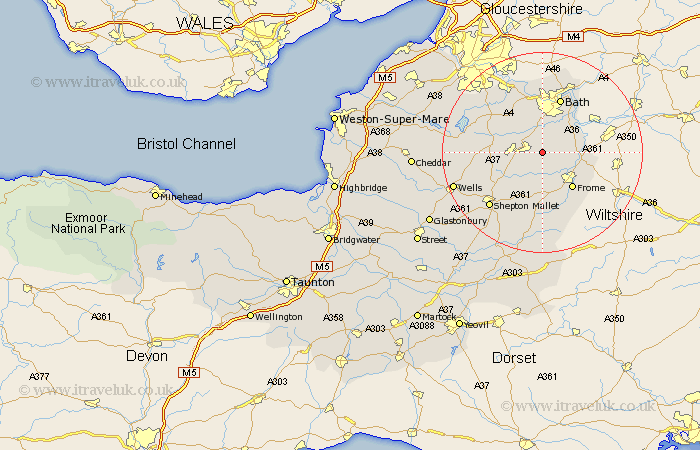
Somerset Map Showing Location of Radstock
Easting: 372106 Northing: 153928
Latitude: 51.28 Longitude: -2.4
 = Radstock
Latitude: 51.28 Longitude: -2.4
= Radstock
This Radstock map below is supplied by Google. Use the tools in the top left corner to zoom into street level or zoom out for a road map, you may also need to zoom in to see Radstock on the map. Click and drag the map to move around. If the map fails to load try and refresh your browser or zoom in or out (+ or -).
Update - it seems Google no longer allow people to use their maps for free! This Radstock map sometimes loads and sometimes gives a error. I am working on a solution.
Closest 30 Towns or Cities to Radstock (Population over 500)
Kilmersden 2.96km Kilmersdon 2.96km Wellow 3.89km Norton Saint Philip 4.99km Norton St Philip 4.99km Norton St. Philip 4.99km Camerton 5.09km Mells 5.56km Timsbury 6.88km Stratton 7.2km Stratton-on-the-Fosse 7.2km Chilcompton 7.2km Stratton on the Fosse 7.2km Paulton 7.2km Coleford 7.2km Holcombe 8.03km Rode 8.11km Road 8.11km Leigh on Mendip 8.18km Leigh 8.18km Leigh-on-Mendip 8.18km Leigh upon Mendip 8.18km Beckington 8.32km Freshford 8.9km Farmboro 8.9km Farmborough 8.9km Farrington Gurney 9.27km Nunney 9.33km Frome 9.41km Clutton 10.81km