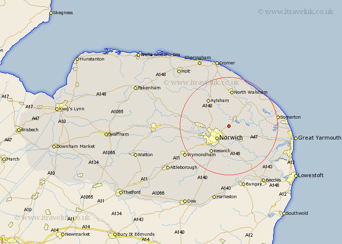
Norfolk Map Showing Location of Rackheath
Population: 1551
District: Broadland
Easting: 627531 Northing: 314869
Latitude: 52.68 Longitude: 1.37
 = Rackheath
District: Broadland
Easting: 627531 Northing: 314869
Latitude: 52.68 Longitude: 1.37
= Rackheath
This Rackheath map below is supplied by Google. Use the tools in the top left corner to zoom into street level or zoom out for a road map, you may also need to zoom in to see Rackheath on the map. Click and drag the map to move around. If the map fails to load try and refresh your browser or zoom in or out (+ or -).
Update - it seems Google no longer allow people to use their maps for free! This Rackheath map sometimes loads and sometimes gives a error. I am working on a solution.
Closest 30 Towns or Cities to Rackheath (Population over 500)
Spixworth 2.91km Wroxham 2.91km Hoveton 3.25km Salhouse 3.37km Horstead 3.88km Great Plumstead 4.33km Coltishall 5.56km Horsham St Faith 5.62km Horsham 5.62km Horsham St. Faith 5.62km Horsham Saint Faith 5.62km Thorpe St Andrew 5.67km Thorpe St. Andrew 5.67km Thorpe Episcopi 5.67km Thorpe 5.67km Thorpe next Norwich 5.67km Thorpe Saint Andrew 5.67km Haynford 5.83km Hainford 5.83km Norwich 7.15km Little Hautbois 7.75km Lammas 7.75km Lamas Little Hautbois 7.75km Horsford 7.86km Beeston Saint Lawrence 7.9km Beeston 7.9km Beeston St Lawrence 7.9km Beeston St. Lawrence 7.9km Brundall 8.66km Neatishead 8.74km