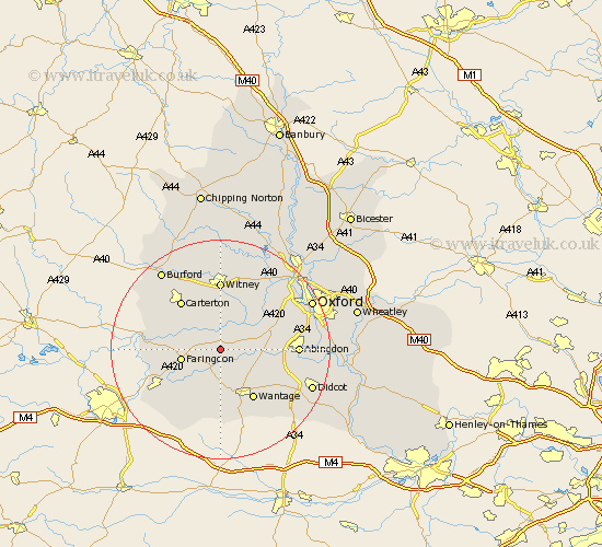
Oxfordshire Map Showing Location of Pusey
Population: 55
District: Vale of White Horse
Easting: 435728 Northing: 196613
Latitude: 51.67 Longitude: -1.48
 = Pusey
District: Vale of White Horse
Easting: 435728 Northing: 196613
Latitude: 51.67 Longitude: -1.48
= Pusey
This Pusey map below is supplied by Google. Use the tools in the top left corner to zoom into street level or zoom out for a road map, you may also need to zoom in to see Pusey on the map. Click and drag the map to move around. If the map fails to load try and refresh your browser or zoom in or out (+ or -).
Update - it seems Google no longer allow people to use their maps for free! This Pusey map sometimes loads and sometimes gives a error. I am working on a solution.
Closest 30 Towns or Cities to Pusey (Population over 500)
Buckland 1.15km Stanford in the Vale 3.89km Longworth 3.91km Kingston Bagpuize 4.6km Kingston Bagpuze 4.6km Bampton 6.54km Faringdon 7.14km Standlake 7.21km Clanfield 7.83km Hanney 8km East Hanney 8km Ducklington 9.26km Childrey 9.27km Stanton Harcourt 9.37km East Challow 9.55km Uffington 10.35km Marcham 10.51km Wantage 10.91km Letcombe Regis 11.35km Carterton 11.54km Cumnor 11.74km Brize Norton 12.51km Watchfield 12.73km Steventon 12.77km Witney 12.97km Ensham 13.08km Eynsham 13.08km Wootton 13.17km Drayton 13.18km Shrivenham 13.69km