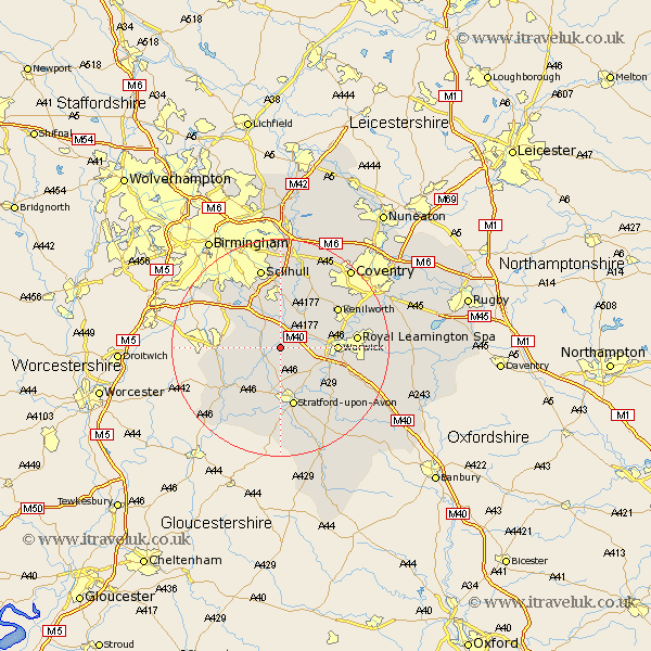
Warwickshire Map Showing Location of Preston Bagot
Population: 147
District: Stratford-on-Avon
Easting: 418189 Northing: 265094
Latitude: 52.28 Longitude: -1.73
 = Preston Bagot
District: Stratford-on-Avon
Easting: 418189 Northing: 265094
Latitude: 52.28 Longitude: -1.73
= Preston Bagot
This Preston Bagot map below is supplied by Google. Use the tools in the top left corner to zoom into street level or zoom out for a road map, you may also need to zoom in to see Preston Bagot on the map. Click and drag the map to move around. If the map fails to load try and refresh your browser or zoom in or out (+ or -).
Update - it seems Google no longer allow people to use their maps for free! This Preston Bagot map sometimes loads and sometimes gives a error. I am working on a solution.
Closest 30 Towns or Cities to Preston Bagot (Population over 500)
Henley in Arden 2.27km Claverdon 2.92km Wootton Wawen 4.34km Rowington 4.35km Shrewley 4.9km Snitterfield 5.56km Bearley 5.56km Lapworth 5.68km Hatton 5.96km Ullenhall 5.96km Aston Cantlow 7.18km Great Alne 9.33km Temple Balsall 9.88km Warwick 10.2km Studley 10.37km Barford 10.64km Knowle 11.12km Stratford on Avon 11.35km Stratford-upon-Avon 11.35km Stratford-on-Avon 11.35km Stratford 11.35km Stratford upon Avon 11.35km Alcester 11.71km Kenilworth 12.61km Leamington 13.73km Royal Leamington Spa 13.73km Leamington Spa 13.73km Berkswell 14.65km Berkeswell 14.65km Bishops Tachbrook 14.7km