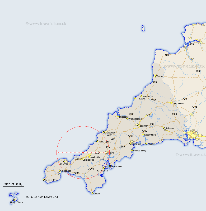
Cornwall Map Showing Location of Portreath
Population: 1337
District: Kerrier
Easting: 164855 Northing: 46026
Latitude: 50.27 Longitude: -5.3
 = Portreath
District: Kerrier
Easting: 164855 Northing: 46026
Latitude: 50.27 Longitude: -5.3
= Portreath
This Portreath map below is supplied by Google. Use the tools in the top left corner to zoom into street level or zoom out for a road map, you may also need to zoom in to see Portreath on the map. Click and drag the map to move around. If the map fails to load try and refresh your browser or zoom in or out (+ or -).
Update - it seems Google no longer allow people to use their maps for free! This Portreath map sometimes loads and sometimes gives a error. I am working on a solution.
Closest 30 Towns or Cities to Portreath (Population over 500)
Illogan 4.41km Camborne 5.68km Redruth 6.02km Troon 7.07km St. Agnes 8.12km Saint Agnes 8.12km St Agnes 8.12km Saint Day 9.09km St. Day 9.09km St Day 9.09km Chacewater 9.66km Gwinear 10.42km Gwennap 10.99km Heyl 11.01km Hayle 11.01km Stithians 12.45km Crowan 12.98km Perranzabuloe 12.98km Perranporth 14.12km Wendron 15.25km Saint Ives 16.04km St. Ives 16.04km St Ives 16.04km Kenwyn 16.58km Germol 17.7km Germoe 17.7km Truro 17.77km Penryn 18.06km Kea 18.16km Cubert 18.37km