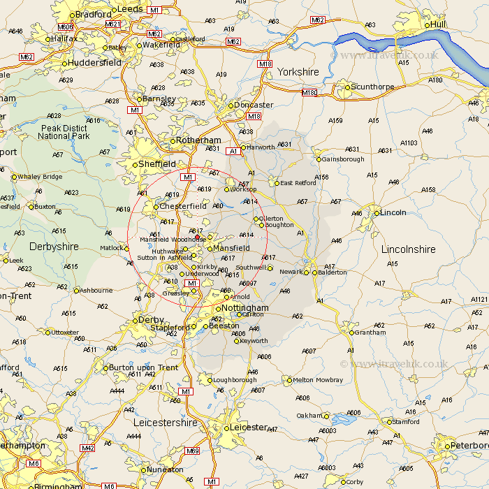
Nottinghamshire Map Showing Location of Pleasley
Population: 2073
District: Mansfield
Easting: 450133 Northing: 363581
Latitude: 53.17 Longitude: -1.25
 = Pleasley
District: Mansfield
Easting: 450133 Northing: 363581
Latitude: 53.17 Longitude: -1.25
= Pleasley
This Pleasley map below is supplied by Google. Use the tools in the top left corner to zoom into street level or zoom out for a road map, you may also need to zoom in to see Pleasley on the map. Click and drag the map to move around. If the map fails to load try and refresh your browser or zoom in or out (+ or -).
Update - it seems Google no longer allow people to use their maps for free! This Pleasley map sometimes loads and sometimes gives a error. I am working on a solution.
Closest 30 Towns or Cities to Pleasley (Population over 500)
Mansfield Woodhouse 3.33km Huthwaite 4.99km Hucknall under Huthwaite 4.99km Hucknall 4.99km Hucknall-under-Huthwaite 4.99km Mansfield 4.99km Sutton in Ashfield 5.67km Warsop 7.62km Kirkby 9.34km Kirkby in Ashfield 9.34km Clipstone 10km Rainworth 10.49km Newstead 11.34km Selston 11.98km Blidworth 12.11km Underwood 12.29km Edwinstowe 12.36km Annesley 12.98km Papplewick 13.72km Bilsthorpe 14.92km Farnsfield 16.25km Ollerton 16.51km Greasley 16.72km Worksop 16.73km Brinsley 17.26km Boughton 17.5km Shireoaks 17.58km Oxton 17.84km Calverton 18.54km Claverton 18.54km