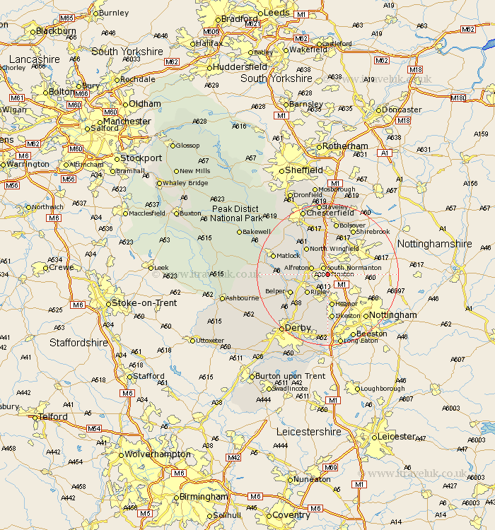
Derbyshire Map Showing Location of Pinxton
Population: 12904
Area Size (ha): 424
District: Bolsover
Easting: 445765 Northing: 354260
Latitude: 53.08 Longitude: -1.32
 = Pinxton
Area Size (ha): 424
District: Bolsover
Easting: 445765 Northing: 354260
Latitude: 53.08 Longitude: -1.32
= Pinxton
This Pinxton map below is supplied by Google. Use the tools in the top left corner to zoom into street level or zoom out for a road map, you may also need to zoom in to see Pinxton on the map. Click and drag the map to move around. If the map fails to load try and refresh your browser or zoom in or out (+ or -).
Update - it seems Google no longer allow people to use their maps for free! This Pinxton map sometimes loads and sometimes gives a error. I am working on a solution.
Closest 30 Towns or Cities to Pinxton (Population over 500)
South Normanton 2.16km Blackwell 3.88km Alfreton 4.82km Tibshelf 5.67km Swanwick 5.86km Codnor 6.49km Shirland 6.69km Morton 7.12km South Wingfield 7.79km Wingfield 7.79km Ripley 7.87km Pilsley 8.13km Stretton 8.69km Shipley Gate Station 9.26km Denby 9.27km Heanor 9.33km North Wingfield 9.64km Clay Cross 9.98km Heage 10.5km Crich 11.13km Ault Hucknall 11.17km Belper 11.46km Ambergate 11.74km Ambergate Junction Station 11.74km Smalley 11.98km Kilbourne 12.11km Kilbourn 12.11km Kilburn 12.11km Ilkeston 13.01km Heath 13.02km