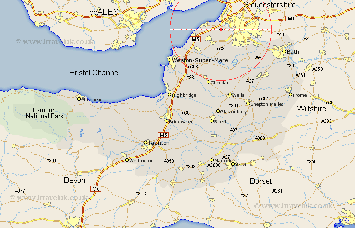
Somerset Map Showing Location of Pill
Easting: 351380 Northing: 174478
Latitude: 51.47 Longitude: -2.7
 = Pill
Latitude: 51.47 Longitude: -2.7
= Pill
This Pill map below is supplied by Google. Use the tools in the top left corner to zoom into street level or zoom out for a road map, you may also need to zoom in to see Pill on the map. Click and drag the map to move around. If the map fails to load try and refresh your browser or zoom in or out (+ or -).
Update - it seems Google no longer allow people to use their maps for free! This Pill map sometimes loads and sometimes gives a error. I am working on a solution.
Closest 30 Towns or Cities to Pill (Population over 500)
Portbury 1.15km Wraxall 2.96km Portishead 4.62km Long Ashton 5.08km Flax Bourton 5.56km Bourton 5.56km Nailsea 5.93km Weston Down 6.93km Weston in Gordano 6.93km Weston 6.93km Dundry 8.74km Winford 9.9km Clevedon 11.04km Whitchurch 11.85km Wrington 12.04km Yatton 12.31km Great Chew 12.53km Chew Magna 12.53km Congresbury 13.1km Chew Stoke 13.78km Blagdon 14.88km Keynsham 15.72km Compton Dando 15.73km Publow 16.04km Churchill 16.38km Sandford 17.48km Wick St Lawrence 17.65km Wick St. Lawrence 17.65km Wick Saint Lawrence 17.65km Temple Cloud 18.54km