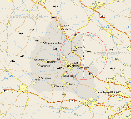
Oxfordshire Map Showing Location of Piddington
Population: 371
District: Cherwell
Easting: 464304 Northing: 215426
Latitude: 51.83 Longitude: -1.07
 = Piddington
District: Cherwell
Easting: 464304 Northing: 215426
Latitude: 51.83 Longitude: -1.07
= Piddington
This Piddington map below is supplied by Google. Use the tools in the top left corner to zoom into street level or zoom out for a road map, you may also need to zoom in to see Piddington on the map. Click and drag the map to move around. If the map fails to load try and refresh your browser or zoom in or out (+ or -).
Update - it seems Google no longer allow people to use their maps for free! This Piddington map sometimes loads and sometimes gives a error. I am working on a solution.
Closest 30 Towns or Cities to Piddington (Population over 500)
Ambrosden 3.9km Launton 6.53km Bicester 9.37km Chesterton 9.75km Beckley 9.76km Thame 10.89km Tiddington 11.12km Islip 11.6km Wheatley 12.03km Great Milton 13.02km Milton 13.02km Caversfield 13.07km Fringford 13.42km Cuddesdon 13.75km Bletchingdon 13.86km Kirtlington 14.23km Great Haseley 14.82km Kidlington 15km Ardley 15.15km Tetsworth 15.52km Oxford 15.65km Garsington 15.89km Yarnton 16.46km Littlemore 16.57km Woodstock 17.28km Fritwell 17.3km Tackley 17.57km Upper Heyford 17.67km Steeple Aston 18.51km North Hinksey 18.6km