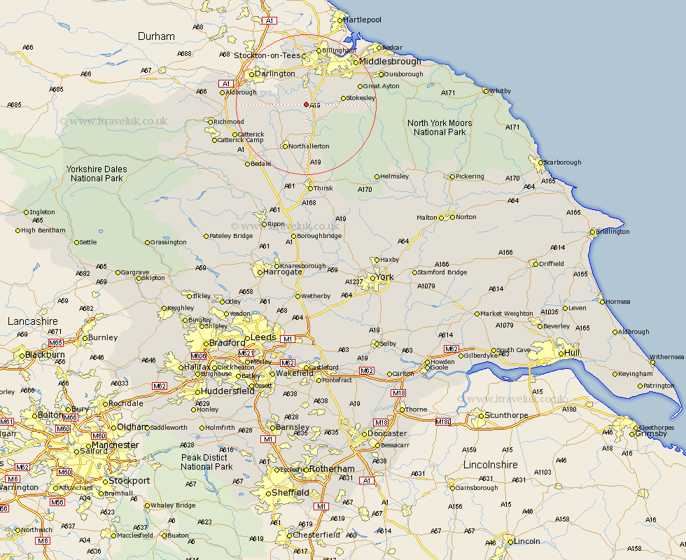
Yorkshire Map Showing Location of Picton
Population: 108
District: Hambleton
Easting: 442141 Northing: 506276
Latitude: 54.45 Longitude: -1.35
 = Picton
District: Hambleton
Easting: 442141 Northing: 506276
Latitude: 54.45 Longitude: -1.35
= Picton
This Picton map below is supplied by Google. Use the tools in the top left corner to zoom into street level or zoom out for a road map, you may also need to zoom in to see Picton on the map. Click and drag the map to move around. If the map fails to load try and refresh your browser or zoom in or out (+ or -).
Update - it seems Google no longer allow people to use their maps for free! This Picton map sometimes loads and sometimes gives a error. I am working on a solution.
Closest 30 Towns or Cities to Picton (Population over 500)
Middleton upon Leven 5.7km Middleton 5.7km Whorlton 7.45km Seamer 8.82km Osmotherley 9.81km Stokesley 9.87km Great Broughton 11.85km Brompton 11.93km East Cowton 12.42km Cowton 12.42km Northallerton 14.05km North Cowton 14.08km Great Ayton 15.06km Ingleby 16.27km Scorton 17.79km Middlesborough 18.3km Middlebrough 18.3km Middlesbrough 18.3km South Bank 18.31km South Bank in Normanby 18.31km South Bank-on-Tees 18.31km South Bank on Tees 18.31km Middleton Tyas 19.39km Barton 19.48km Eston 19.6km Grangetown 19.66km Catterick 20.54km Guisborough 21.48km Melsonby 21.86km Gilling 23.78km