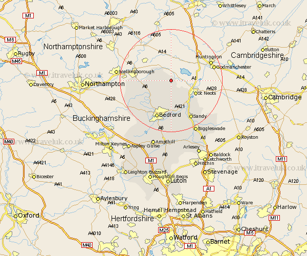
Bedfordshire Map Showing Location of Pertenhall
Population: 231
District: Bedford
Easting: 509172 Northing: 264420
Latitude: 52.27 Longitude: -0.4
 = Pertenhall
District: Bedford
Easting: 509172 Northing: 264420
Latitude: 52.27 Longitude: -0.4
= Pertenhall
This Pertenhall map below is supplied by Google. Use the tools in the top left corner to zoom into street level or zoom out for a road map, you may also need to zoom in to see Pertenhall on the map. Click and drag the map to move around. If the map fails to load try and refresh your browser or zoom in or out (+ or -).
Update - it seems Google no longer allow people to use their maps for free! This Pertenhall map sometimes loads and sometimes gives a error. I am working on a solution.
Closest 30 Towns or Cities to Pertenhall (Population over 500)
Riseley 4.9km Bolnhurst 5.56km Thurleigh 8.16km Sharnbrook 10.64km Milton Ernest 12.21km Roxton 13.04km Great Barford 13.42km Wymington 13.61km Oakley 13.67km Pavenham 13.8km Clapham 14.16km Tempsford 14.66km Willington 15.01km Stevington 15.1km Bromham 15.22km Bedford 15.8km Blunham 15.88km Biddenham 16.32km Carlton 16.48km Harrold 16.48km Cople 16.72km Sandy 16.88km Everton 18.68km Elstow 19.08km Kempston 19.39km Northill 19.39km Turvey 19.4km Potton 21.54km Wootton 21.89km Biggleswade 22.33km