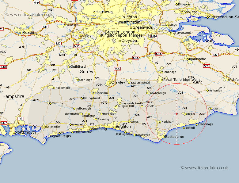
Sussex Map Showing Location of Penhurst
Population: 52
District: Rother
Easting: 569853 Northing: 115868
Latitude: 50.92 Longitude: 0.42
 = Penhurst
District: Rother
Easting: 569853 Northing: 115868
Latitude: 50.92 Longitude: 0.42
= Penhurst
This Penhurst map below is supplied by Google. Use the tools in the top left corner to zoom into street level or zoom out for a road map, you may also need to zoom in to see Penhurst on the map. Click and drag the map to move around. If the map fails to load try and refresh your browser or zoom in or out (+ or -).
Update - it seems Google no longer allow people to use their maps for free! This Penhurst map sometimes loads and sometimes gives a error. I am working on a solution.
Closest 30 Towns or Cities to Penhurst (Population over 500)
Mountfield 3.96km Catsfield 4.39km Ninfield 5.56km Battle 5.84km Herstmonceux 6.92km Hurstmonceux 6.92km Hurstmonceaux 6.92km Crowhurst 8.07km Sedlescombe 8.18km Robertsbridge 8.19km Etchingham 9.34km Warbleton 9.53km Burwash 9.55km Hurst Green 9.9km Westfield 10.68km Bexhill 10.92km Heathfield 11.14km Horeham 11.68km Horam 11.68km Hailsham 11.9km Brede 12.85km Hellingly 12.94km Ticehurst 12.97km Pevensey Bay 13.44km Pevensey 13.79km Northiam 14.83km Hastings 14.85km Mayfield 14.9km Guestling 15.64km Fairlight 15.64km