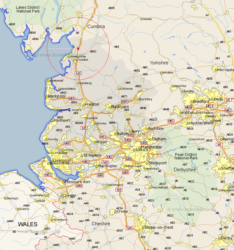
Lancashire Map Showing Location of Carnforth
Population: 7455
Area Size (ha): 203
District: Lancaster
Easting: 349891 Northing: 469272
Latitude: 54.12 Longitude: -2.77
 = Carnforth
Area Size (ha): 203
District: Lancaster
Easting: 349891 Northing: 469272
Latitude: 54.12 Longitude: -2.77
= Carnforth
This Carnforth map below is supplied by Google. Use the tools in the top left corner to zoom into street level or zoom out for a road map, you may also need to zoom in to see Carnforth on the map. Click and drag the map to move around. If the map fails to load try and refresh your browser or zoom in or out (+ or -).
Update - it seems Google no longer allow people to use their maps for free! This Carnforth map sometimes loads and sometimes gives a error. I am working on a solution.
Closest 30 Towns or Cities to Carnforth (Population over 500)
Warton 1.85km Nether Kellet 2.15km Over Kellet 2.17km Bolton le Sands 3.87km Silverdale 6.44km Caton 6.45km Morecombe 7.78km Morecambe 7.78km Lancaster 8.14km Overton 14.07km Middleton 15.05km Forton 18.57km Cockerham 18.82km Pilling 22.62km Garstang 24.1km Preesall 25.79km Catterall 27.8km Claughton-on-Brock 27.99km Claughton on Brock 27.99km Claughton 27.99km Fleetwood 28.12km Chipping 28.59km Hambleton 29.86km Great Eccleston 30.37km Eccleston 30.37km Inskip 31.81km Thornton 32.25km Elswick 32.42km Great Singleton 33.34km Singleton 33.34km