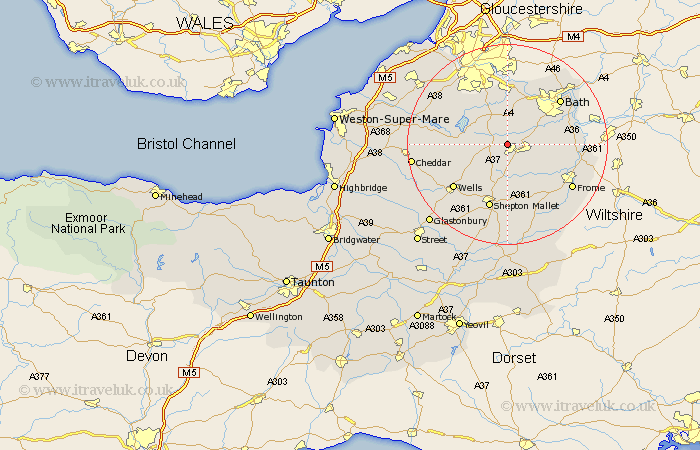
Somerset Map Showing Location of Paulton
Population: 4687
Area Size (ha): 125
Easting: 365145 Northing: 155827
Latitude: 51.3 Longitude: -2.5
 = Paulton
Area Size (ha): 125
Easting: 365145 Northing: 155827
Latitude: 51.3 Longitude: -2.5
= Paulton
This Paulton map below is supplied by Google. Use the tools in the top left corner to zoom into street level or zoom out for a road map, you may also need to zoom in to see Paulton on the map. Click and drag the map to move around. If the map fails to load try and refresh your browser or zoom in or out (+ or -).
Update - it seems Google no longer allow people to use their maps for free! This Paulton map sometimes loads and sometimes gives a error. I am working on a solution.
Closest 30 Towns or Cities to Paulton (Population over 500)
Timsbury 2.19km Farrington Gurney 2.97km Stratton on the Fosse 3.7km Stratton-on-the-Fosse 3.7km Stratton 3.7km Chilcompton 3.7km Farmborough 3.7km Farmboro 3.7km Camerton 3.94km Clutton 4.37km Temple Cloud 4.69km Kilmersden 5.93km Kilmersdon 5.93km Chewton Mendip 6.88km Holcombe 7.51km Publow 7.77km Wellow 8.32km Coleford 8.33km East Harptree 9.27km Compton Dando 9.33km Leigh upon Mendip 9.89km Leigh-on-Mendip 9.89km Leigh 9.89km Leigh on Mendip 9.89km Mells 10.17km Compton Martin 10.43km Chew Stoke 10.8km Great Chew 10.99km Chew Magna 10.99km Keynsham 11.12km