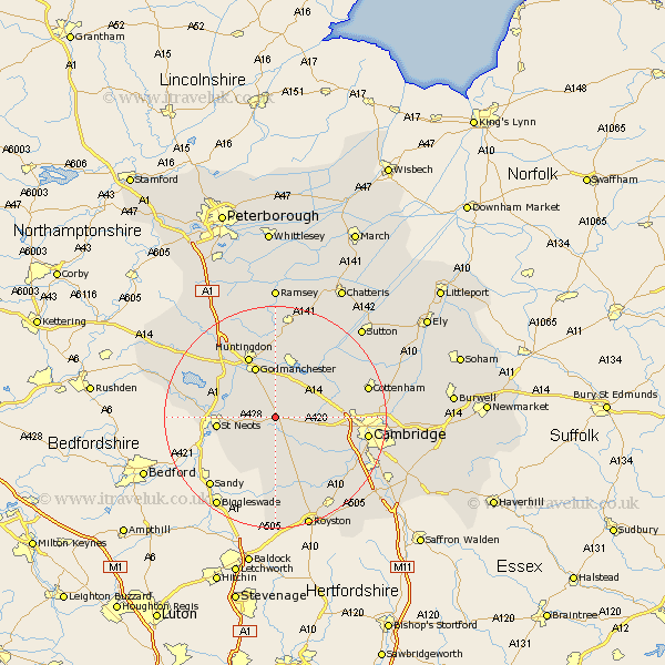
Cambridgeshire Map Showing Location of Papworth Everard
Population: 2012
District: South Cambridgeshire
Easting: 528600 Northing: 261171
Latitude: 52.23 Longitude: -0.12
 = Papworth Everard
District: South Cambridgeshire
Easting: 528600 Northing: 261171
Latitude: 52.23 Longitude: -0.12
= Papworth Everard
This Papworth Everard map below is supplied by Google. Use the tools in the top left corner to zoom into street level or zoom out for a road map, you may also need to zoom in to see Papworth Everard on the map. Click and drag the map to move around. If the map fails to load try and refresh your browser or zoom in or out (+ or -).
Update - it seems Google no longer allow people to use their maps for free! This Papworth Everard map sometimes loads and sometimes gives a error. I am working on a solution.
Closest 30 Towns or Cities to Papworth Everard (Population over 500)
Elsworth 3.88km Hilton 3.88km Great Gransden 5.67km Gransden 5.67km Great Paxton 7.06km Bourn 7.18km Offord 7.94km Offord Cluny 7.94km St Ives 8.16km Fen Stanton 8.16km Saint Ives 8.16km St. Ives 8.16km Toft 8.79km Little Paxton 9.27km Hemingford Grey 9.27km Hemingford 9.27km West Hemingford 9.34km Hemingford Abbots 9.34km Hardwick 9.81km Hardwicke 9.81km Godmanchester 9.88km Durolipons 9.88km Dry Drayton 10.22km Gamlingay 10.32km St Neots 10.38km St. Neots 10.38km Saint Neots 10.38km Buckden 10.64km Swavesey 10.86km Wyton 11.12km