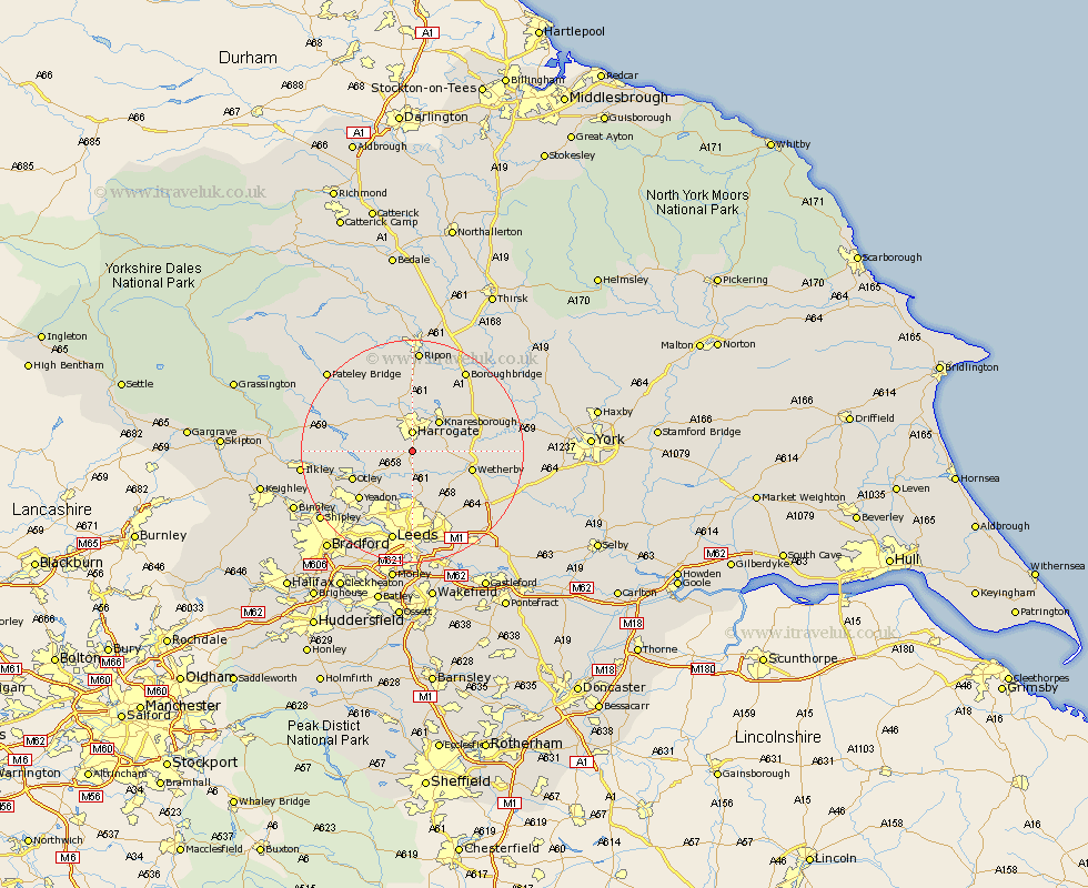
Yorkshire Map Showing Location of Pannal
Population: 2580
Area Size (ha): 91
District: Harrogate
Easting: 430623 Northing: 450556
Latitude: 53.95 Longitude: -1.53
 = Pannal
Area Size (ha): 91
District: Harrogate
Easting: 430623 Northing: 450556
Latitude: 53.95 Longitude: -1.53
= Pannal
This Pannal map below is supplied by Google. Use the tools in the top left corner to zoom into street level or zoom out for a road map, you may also need to zoom in to see Pannal on the map. Click and drag the map to move around. If the map fails to load try and refresh your browser or zoom in or out (+ or -).
Update - it seems Google no longer allow people to use their maps for free! This Pannal map sometimes loads and sometimes gives a error. I am working on a solution.
Closest 30 Towns or Cities to Pannal (Population over 500)
Pannal 0km Harrogate 3.7km Weeton 4.3km Harewood 5.97km Knaresborough 7.07km Arthington Junction Station 7.07km Arthington 7.07km Killinghall 7.49km Pool 7.79km Pool-in-Wharfedale 7.79km Poole 7.79km Hampsthwaite 8.6km Bramhope 9.21km East Keswick 9.87km Bardsey 9.89km Collingham 10.35km Wetherby 10.49km Birstwith 10.75km Scarcroft 10.75km Otley 11.29km Yeadon 12.73km Burton Leonard 13.16km Boston Spa 13.23km Thorner 13.49km Thorp Arch 13.61km Thorpe Arch 13.61km Bramham 14.11km Darley 14.3km Horsforth 14.54km Burley 14.66km