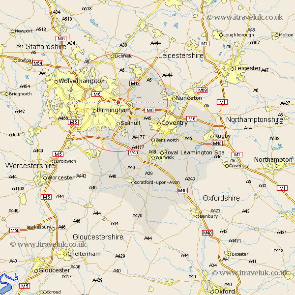
Warwickshire Map Showing Location of Castle Bromwich
Population: 11857
District: Solihull
Easting: 414706 Northing: 289184
Latitude: 52.5 Longitude: -1.78
 = Castle Bromwich
District: Solihull
Easting: 414706 Northing: 289184
Latitude: 52.5 Longitude: -1.78
= Castle Bromwich
This Castle Bromwich map below is supplied by Google. Use the tools in the top left corner to zoom into street level or zoom out for a road map, you may also need to zoom in to see Castle Bromwich on the map. Click and drag the map to move around. If the map fails to load try and refresh your browser or zoom in or out (+ or -).
Update - it seems Google no longer allow people to use their maps for free! This Castle Bromwich map sometimes loads and sometimes gives a error. I am working on a solution.
Closest 30 Towns or Cities to Castle Bromwich (Population over 500)
Water Orton 3.38km Coleshill 5.64km Bickenhill 7.16km Sutton Coldfield 7.75km Kingsbury 8.76km Solihull 9.26km Nether Whitacre 9.75km Birmingham 9.76km Middleton 9.86km Shustoke 10.15km Hampton in Arden 10.85km Hurley 11.57km Knowle 13.41km Meriden 13.51km Arley 13.54km Fillongley 14.04km Berkeswell 15.07km Berkswell 15.07km Temple Balsall 16.3km Dordon 16.35km Polesworth 16.65km Corley 16.75km Atherstone 17.44km Coventry 18.32km Allesley 18.32km Grendon 18.39km Keresley 18.49km Shuttington 18.62km Lapworth 18.67km Mancetter 19.5km