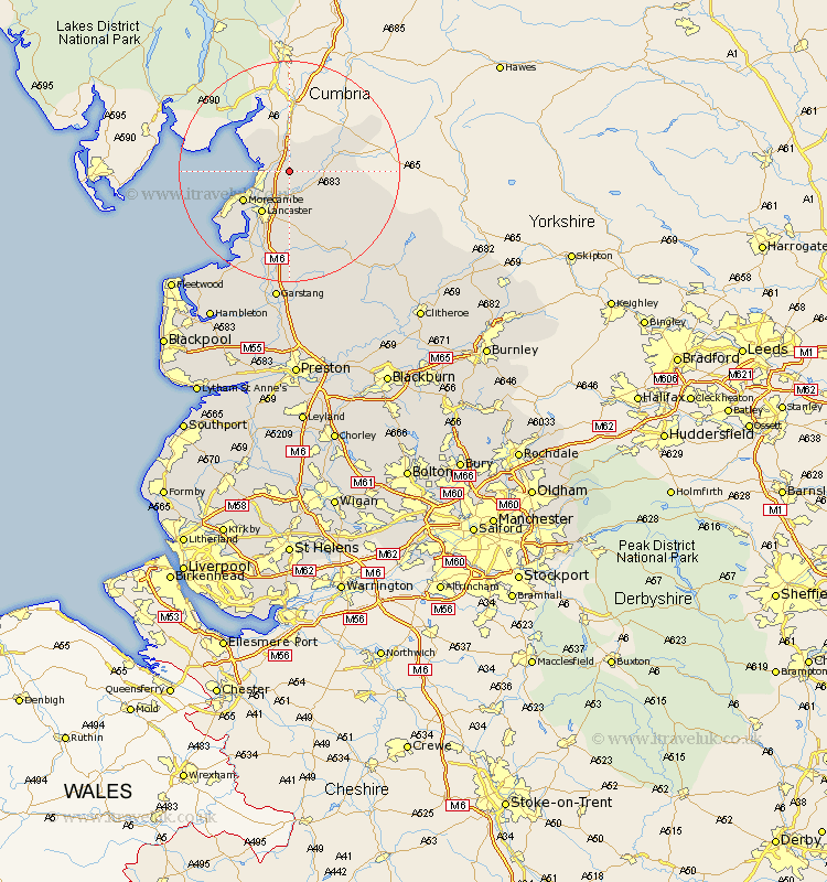
Lancashire Map Showing Location of Over Kellet
Population: 778
District: Lancaster
Easting: 352070 Northing: 469249
Latitude: 54.12 Longitude: -2.73
 = Over Kellet
District: Lancaster
Easting: 352070 Northing: 469249
Latitude: 54.12 Longitude: -2.73
= Over Kellet
This Over Kellet map below is supplied by Google. Use the tools in the top left corner to zoom into street level or zoom out for a road map, you may also need to zoom in to see Over Kellet on the map. Click and drag the map to move around. If the map fails to load try and refresh your browser or zoom in or out (+ or -).
Update - it seems Google no longer allow people to use their maps for free! This Over Kellet map sometimes loads and sometimes gives a error. I am working on a solution.
Closest 30 Towns or Cities to Over Kellet (Population over 500)
Nether Kellet 2.15km Carnforth 2.17km Warton 2.85km Bolton le Sands 4.94km Caton 5.67km Silverdale 7.77km Lancaster 9.02km Morecombe 9.42km Morecambe 9.42km Overton 15.05km Middleton 16.26km Forton 18.82km Cockerham 19.32km Pilling 23.65km Garstang 24.19km Preesall 26.96km Chipping 27.74km Claughton on Brock 27.82km Claughton 27.82km Claughton-on-Brock 27.82km Catterall 27.88km Fleetwood 29.5km Hambleton 30.72km Eccleston 30.91km Great Eccleston 30.91km Inskip 32.18km Longridge 33km Elswick 33km Waddington 33.19km Broughton 33.36km