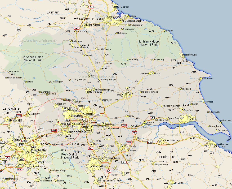
Yorkshire Map Showing Location of Ovenden
District: Calderdale
Easting: 407695 Northing: 426354
Latitude: 53.73 Longitude: -1.88
 = Ovenden
Easting: 407695 Northing: 426354
Latitude: 53.73 Longitude: -1.88
= Ovenden
This Ovenden map below is supplied by Google. Use the tools in the top left corner to zoom into street level or zoom out for a road map, you may also need to zoom in to see Ovenden on the map. Click and drag the map to move around. If the map fails to load try and refresh your browser or zoom in or out (+ or -).
Update - it seems Google no longer allow people to use their maps for free! This Ovenden map sometimes loads and sometimes gives a error. I am working on a solution.
Closest 30 Towns or Cities to Ovenden (Population over 500)
Halifax 2.87km Luddenden Foot 3.77km Queensbury 4.31km Denholme 5.67km Elland 6.46km Mytholmroyd 6.83km Brighouse 7.55km Ripponden 8.61km Oxenhope 8.61km Hebden Bridge 8.96km Heptonstall 8.96km Cullingworth 9.34km Wilsden 9.34km Haworth 10.26km Bradford 10.38km Cleckheaton 11.12km Huddersfield 11.37km Liversedge 12.62km Todmorden 13.29km Bingley 13.39km Shipley 13.5km Heckmondwike 14.73km Baildon 15.07km Mirfield 15.11km Pudsey 15.29km Honley 15.81km Keighley 16.82km Meltham 16.82km Steeton 17.25km Cornholme 17.54km