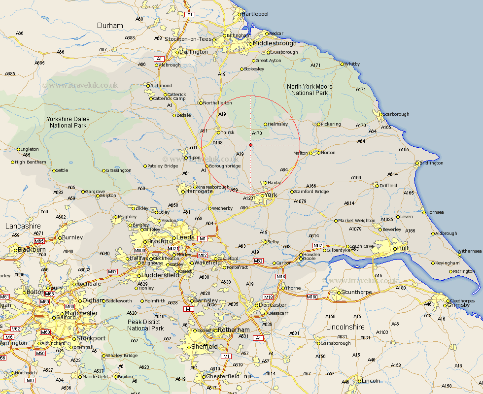
Yorkshire Map Showing Location of Oulston
Population: 102
District: Hambleton
Easting: 455488 Northing: 474897
Latitude: 54.17 Longitude: -1.15
 = Oulston
District: Hambleton
Easting: 455488 Northing: 474897
Latitude: 54.17 Longitude: -1.15
= Oulston
This Oulston map below is supplied by Google. Use the tools in the top left corner to zoom into street level or zoom out for a road map, you may also need to zoom in to see Oulston on the map. Click and drag the map to move around. If the map fails to load try and refresh your browser or zoom in or out (+ or -).
Update - it seems Google no longer allow people to use their maps for free! This Oulston map sometimes loads and sometimes gives a error. I am working on a solution.
Closest 30 Towns or Cities to Oulston (Population over 500)
Ampleforth 4.29km Easingwold 6.44km Raskelf 7.5km Stillington 7.73km Huby 9.34km Helmsley 10.73km Alne 10.75km Tollerton 11.94km Nawton 13.13km Thirsk 13.16km Terrington 13.17km Sheriff Hutton 13.47km Shipton 14.83km Strensall 15.04km Topcliffe 15.3km Slingsby 15.31km Newton upon Ouse 15.46km Newton 15.46km Linton upon Ouse 16.2km Linton-on-Ouse 16.2km Linton 16.2km Linton on Ouse 16.2km Great Ouseburn 16.92km Ouseburn 16.92km Dishforth 17.46km Haxby 17.54km Wigginton 17.54km Kirby Moorside 17.95km Kirkby Moorside 17.95km Marton 17.97km