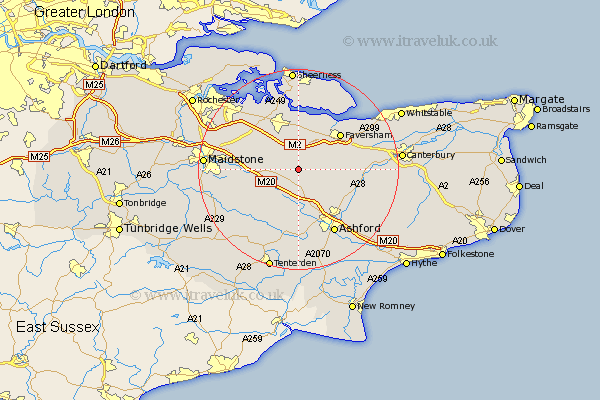
Kent Map Showing Location of Otterden
Population: 161
District: Maidstone
Easting: 594218 Northing: 153829
Latitude: 51.25 Longitude: 0.78
 = Otterden
District: Maidstone
Easting: 594218 Northing: 153829
Latitude: 51.25 Longitude: 0.78
= Otterden
This Otterden map below is supplied by Google. Use the tools in the top left corner to zoom into street level or zoom out for a road map, you may also need to zoom in to see Otterden on the map. Click and drag the map to move around. If the map fails to load try and refresh your browser or zoom in or out (+ or -).
Update - it seems Google no longer allow people to use their maps for free! This Otterden map sometimes loads and sometimes gives a error. I am working on a solution.
Closest 30 Towns or Cities to Otterden (Population over 500)
Doddington 2.19km Lenham 5km Linsted 5.56km Lynsted 5.56km Charing 5.68km Harrietsham 7.2km Bapchild 7.51km Pluckley 7.77km Bredgar 8.03km Ospringe 8.03km Egerton 8.19km Tunstall 8.75km Hollingbourne 9.28km Borden 9.41km Selling 9.46km Sittingbourne 9.55km Teynham 9.55km Oare 10.17km Ulcombe 10.82km Faversham 10.99km Hothfield 11.36km Leeds 11.75km Stockbury 11.87km Bobbing 12.54km Wye 12.81km Chilham 12.9km Kennington 13.12km Iwade 13.43km Newington 13.76km Langley 14.05km