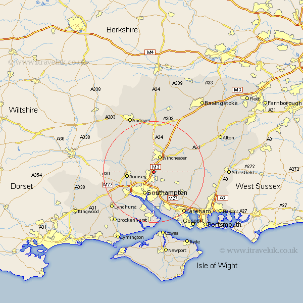
Hampshire Map Showing Location of Otterbourne
Population: 1558
Area Size (ha): 127
District: Winchester
Easting: 445605 Northing: 122551
Latitude: 51 Longitude: -1.35
 = Otterbourne
Area Size (ha): 127
District: Winchester
Easting: 445605 Northing: 122551
Latitude: 51 Longitude: -1.35
= Otterbourne
This Otterbourne map below is supplied by Google. Use the tools in the top left corner to zoom into street level or zoom out for a road map, you may also need to zoom in to see Otterbourne on the map. Click and drag the map to move around. If the map fails to load try and refresh your browser or zoom in or out (+ or -).
Update - it seems Google no longer allow people to use their maps for free! This Otterbourne map sometimes loads and sometimes gives a error. I am working on a solution.
Closest 30 Towns or Cities to Otterbourne (Population over 500)
Compton 2.19km Twyford 2.98km Eastleigh 3.7km Bishopstoke 3.88km Hursley 3.96km Owslebury 5.83km Winchester 6.72km Chilworth 7.26km Sparsholt 7.77km Durley 8.94km Upham 8.97km West End 9.34km Southampton 9.56km Kings Worthy 9.9km Romsey 10.66km Bishop's Waltham 10.87km Bishops Waltham 10.87km Botley 10.95km Michelmersh 11.13km Michlemersh 11.13km Itchen 11.36km Curbridge 11.62km Curdridge 11.62km Kings Somborne 11.91km Totton 13.15km Cheriton 13.98km Waltham Chase 14.01km Marchwood 14.23km Stockbridge 14.51km Eling 14.52km