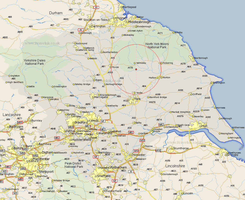
Yorkshire Map Showing Location of Oswaldkirk
Population: 231
District: Ryedale
Easting: 461966 Northing: 478684
Latitude: 54.2 Longitude: -1.05
 = Oswaldkirk
District: Ryedale
Easting: 461966 Northing: 478684
Latitude: 54.2 Longitude: -1.05
= Oswaldkirk
This Oswaldkirk map below is supplied by Google. Use the tools in the top left corner to zoom into street level or zoom out for a road map, you may also need to zoom in to see Oswaldkirk on the map. Click and drag the map to move around. If the map fails to load try and refresh your browser or zoom in or out (+ or -).
Update - it seems Google no longer allow people to use their maps for free! This Oswaldkirk map sometimes loads and sometimes gives a error. I am working on a solution.
Closest 30 Towns or Cities to Oswaldkirk (Population over 500)
Ampleforth 4.34km Helmsley 5.66km Nawton 5.7km Slingsby 10.31km Kirkby Moorside 10.61km Kirby Moorside 10.61km Terrington 10.73km Stillington 11.94km Sheriff Hutton 13.38km Easingwold 13.46km Huby 14.07km Raskelf 14.98km Strensall 16.71km Malton 17.29km Alne 17.63km Tollerton 18.37km Thirsk 18.52km Pickering 19.24km Shipton 19.65km Norton 19.74km Wigginton 20.41km Haxby 20.41km Newton upon Ouse 21.48km Newton 21.48km Topcliffe 21.77km Thornton-le-Dale 21.99km Thornton Dale 21.99km Earswick 22.24km Huntington 22.24km Linton upon Ouse 22.66km