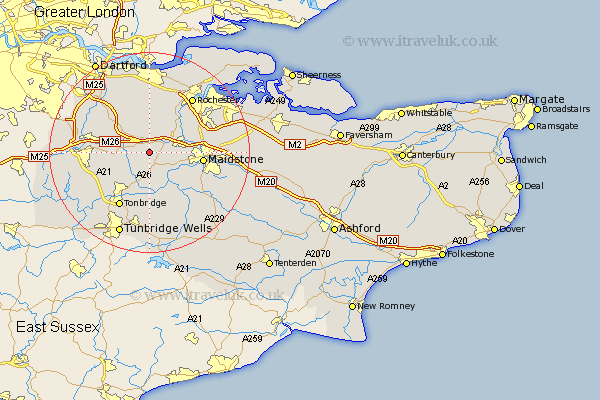
Kent Map Showing Location of Offham
Population: 732
District: Tonbridge and Malling
Easting: 565028 Northing: 156512
Latitude: 51.28 Longitude: 0.37
 = Offham
District: Tonbridge and Malling
Easting: 565028 Northing: 156512
Latitude: 51.28 Longitude: 0.37
= Offham
This Offham map below is supplied by Google. Use the tools in the top left corner to zoom into street level or zoom out for a road map, you may also need to zoom in to see Offham on the map. Click and drag the map to move around. If the map fails to load try and refresh your browser or zoom in or out (+ or -).
Update - it seems Google no longer allow people to use their maps for free! This Offham map sometimes loads and sometimes gives a error. I am working on a solution.
Closest 30 Towns or Cities to Offham (Population over 500)
Ryarsh 2.19km Addington 2.32km West Malling 2.32km Mereworth 3.7km Wrotham 3.94km Borough Green 4.64km East Malling 4.99km Wateringbury 5.08km Plaxtol 5.93km Snodland 5.94km Ridley 6.56km Hadlow 7.76km Barming 7.88km East Barming 7.88km Aylesford 8.11km Yalding 8.74km Ash 8.74km Wouldham 8.9km Burham 8.92km Meopham 9.27km East Peckham 9.34km Cuxton 9.41km Kemsing 9.46km West Kingsdown 9.83km Hartley 9.9km Seal 10.43km Maidstone 10.6km Cobham 11.36km Longfield 11.65km Sevenoaks 11.74km