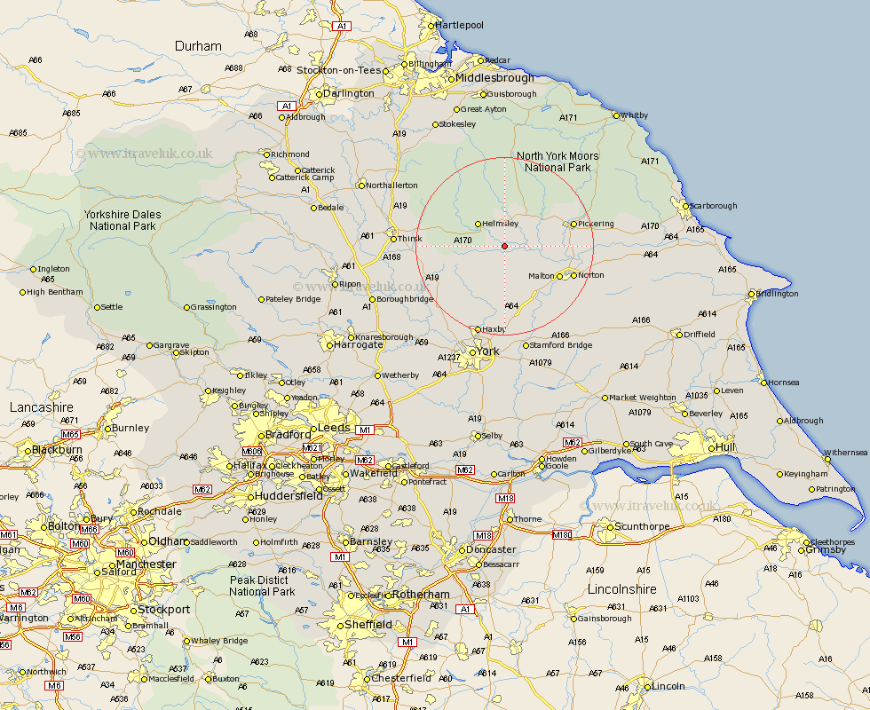
Yorkshire Map Showing Location of Nunnington
Population: 239
District: Ryedale
Easting: 466314 Northing: 478745
Latitude: 54.2 Longitude: -0.98
 = Nunnington
District: Ryedale
Easting: 466314 Northing: 478745
Latitude: 54.2 Longitude: -0.98
= Nunnington
This Nunnington map below is supplied by Google. Use the tools in the top left corner to zoom into street level or zoom out for a road map, you may also need to zoom in to see Nunnington on the map. Click and drag the map to move around. If the map fails to load try and refresh your browser or zoom in or out (+ or -).
Update - it seems Google no longer allow people to use their maps for free! This Nunnington map sometimes loads and sometimes gives a error. I am working on a solution.
Closest 30 Towns or Cities to Nunnington (Population over 500)
Nawton 3.7km Slingsby 7.05km Helmsley 7.76km Kirby Moorside 8.1km Kirkby Moorside 8.1km Ampleforth 8.67km Terrington 9.33km Sheriff Hutton 13.02km Malton 13.5km Stillington 14.11km Pickering 15.14km Norton 15.76km Huby 16.24km Easingwold 16.88km Strensall 16.99km Thornton Dale 17.73km Thornton-le-Dale 17.73km Raskelf 18.88km Rillington 19.26km Alne 20.82km Wigginton 21.09km Haxby 21.09km Tollerton 21.23km Shipton 21.48km Huntington 22.66km Earswick 22.66km Thirsk 22.84km Yedingham 23.85km Newton 23.98km Newton upon Ouse 23.98km