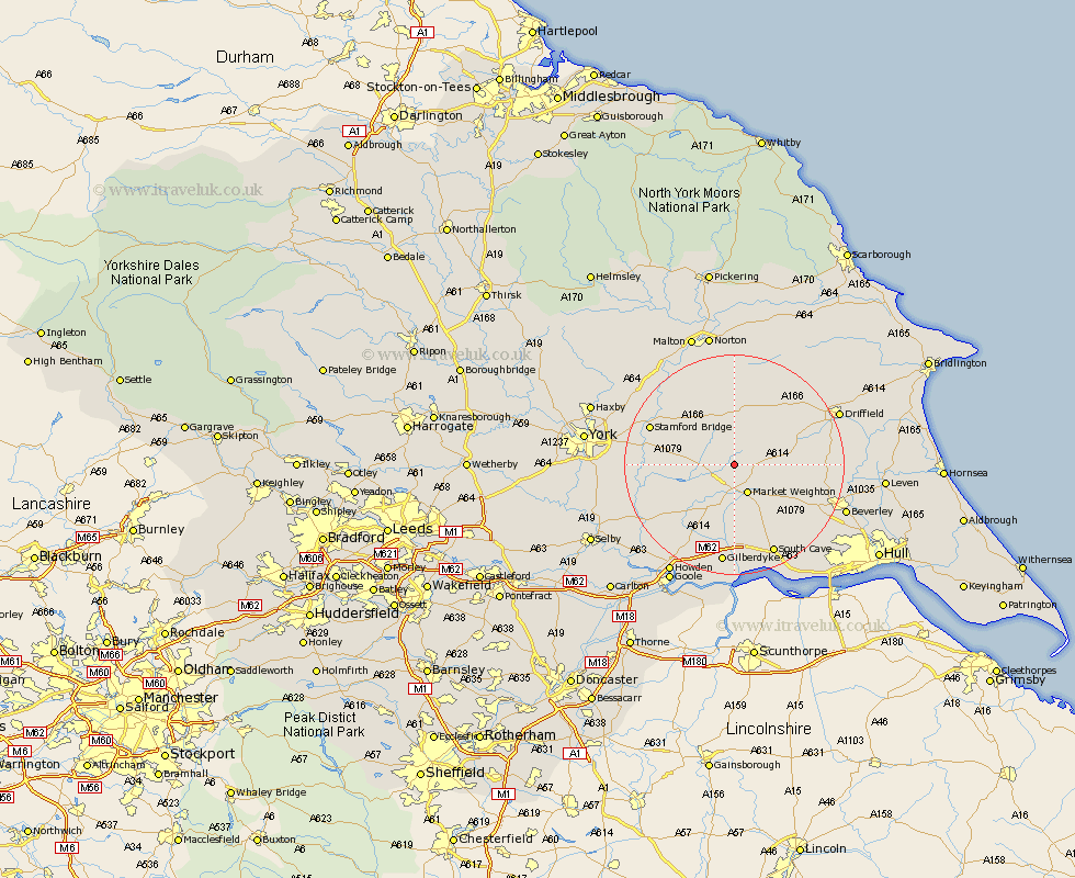
Yorkshire Map Showing Location of Nunburnholme
Population: 253
Easting: 485373 Northing: 447533
Latitude: 53.92 Longitude: -0.7
 = Nunburnholme
Easting: 485373 Northing: 447533
Latitude: 53.92 Longitude: -0.7
= Nunburnholme
This Nunburnholme map below is supplied by Google. Use the tools in the top left corner to zoom into street level or zoom out for a road map, you may also need to zoom in to see Nunburnholme on the map. Click and drag the map to move around. If the map fails to load try and refresh your browser or zoom in or out (+ or -).
Update - it seems Google no longer allow people to use their maps for free! This Nunburnholme map sometimes loads and sometimes gives a error. I am working on a solution.
Closest 30 Towns or Cities to Nunburnholme (Population over 500)
Pocklington 3.76km Market Weighton 5.97km Barmby-on-the-Moor 7.86km Barmby 7.86km Barmby on the Moor 7.86km Holme 10.25km Holme upon Spalding Moor 10.25km Fangfoss 10.35km Melbourne 10.51km Seaton Ross 10.65km Wilberfoss 12.56km Wetwang 12.72km Sutton 14.19km Sutton upon Derwent 14.19km Cherry Burton 14.24km Lockington 14.31km North Frodingham 15.23km Stamford Bridge 16km Bishop Burton 16.06km North Cave 17km Leckonfield 17.3km Leconfield 17.3km Cranswick 17.85km Wheldrake 17.86km South Cave 17.92km Bubwith 18.04km Newport 19.05km Eastrington 19.33km Driffield 20.11km Beverley 20.76km