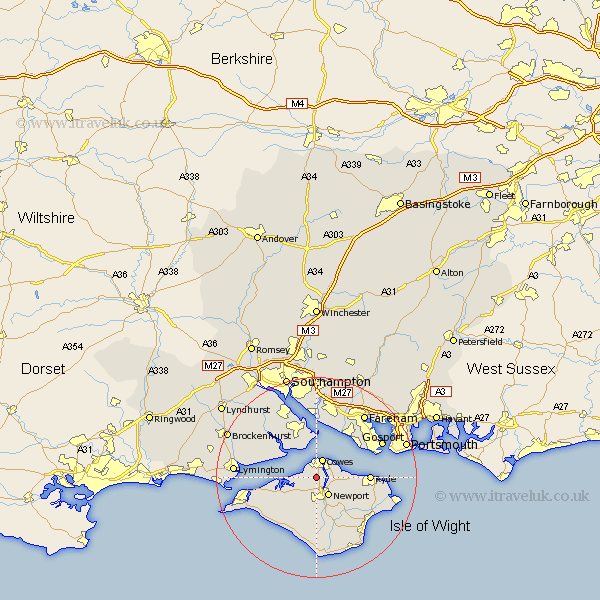
Hampshire Map Showing Location of Northwood
Population: 1918
Area Size (ha): 59
Easting: 448218 Northing: 92917
Latitude: 50.73 Longitude: -1.32
 = Northwood
Area Size (ha): 59
Easting: 448218 Northing: 92917
Latitude: 50.73 Longitude: -1.32
= Northwood
This Northwood map below is supplied by Google. Use the tools in the top left corner to zoom into street level or zoom out for a road map, you may also need to zoom in to see Northwood on the map. Click and drag the map to move around. If the map fails to load try and refresh your browser or zoom in or out (+ or -).
Update - it seems Google no longer allow people to use their maps for free! This Northwood map sometimes loads and sometimes gives a error. I am working on a solution.
Closest 30 Towns or Cities to Northwood (Population over 500)
Gurnard 1.86km East Cowes 2.2km Cowes 3.9km Newport 4.38km Wootton 6.15km Shalfleet 6.94km Arreton 8.77km Calbourne 9.45km Rookley 9.55km Fawley 9.57km Ryde 10.56km Lee-on-the-Solent 11.06km Lee on the Solent 11.06km Lee-on-Solent 11.06km Lee on Solent 11.06km Newchurch 11.06km Shorwell 11.37km Brightstone 12.07km Brighstone 12.07km Hamble 12.98km Hample 12.98km Brading 12.99km Bewley 13.19km Beaulieu 13.19km Yarmouth 13.43km Godshill 13.79km Locks Heath 14.1km St Helens 14.56km Saint Helens 14.56km St. Helens 14.56km