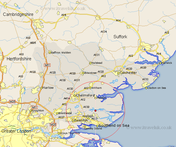
Essex Map Showing Location of Fambridge
Population: 752
District: Maldon
Easting: 585680 Northing: 196183
Latitude: 51.63 Longitude: 0.68
 = Fambridge
District: Maldon
Easting: 585680 Northing: 196183
Latitude: 51.63 Longitude: 0.68
= Fambridge
This Fambridge map below is supplied by Google. Use the tools in the top left corner to zoom into street level or zoom out for a road map, you may also need to zoom in to see Fambridge on the map. Click and drag the map to move around. If the map fails to load try and refresh your browser or zoom in or out (+ or -).
Update - it seems Google no longer allow people to use their maps for free! This Fambridge map sometimes loads and sometimes gives a error. I am working on a solution.
Closest 30 Towns or Cities to Fambridge (Population over 500)
Cold Norton 3.89km Purleigh 4.37km Althorne 4.96km Latchingdon and Snoreham 5.07km Snoreham 5.07km Latchingdon 5.07km Hawkwell 5.68km Canewdon 5.91km Canewelon 5.91km Hockley 6.02km Rochford 6.02km Woodham Ferrers 6.04km Mayland 7.15km Rayleigh 7.22km Woodham Mortimer 8.18km Bickacre 8.86km Bicknacre 8.86km Rawreth 8.87km Maldon 9.27km Malden 9.27km Leigh 9.33km Leigh-on-Sea 9.33km Leigh on Sea 9.33km Rettendon 9.39km East Hanningfield 9.92km Barling 10.13km Southminster 10.52km Burnham 10.52km Burnham-on-Crouch 10.52km Burnham on Crouch 10.52km