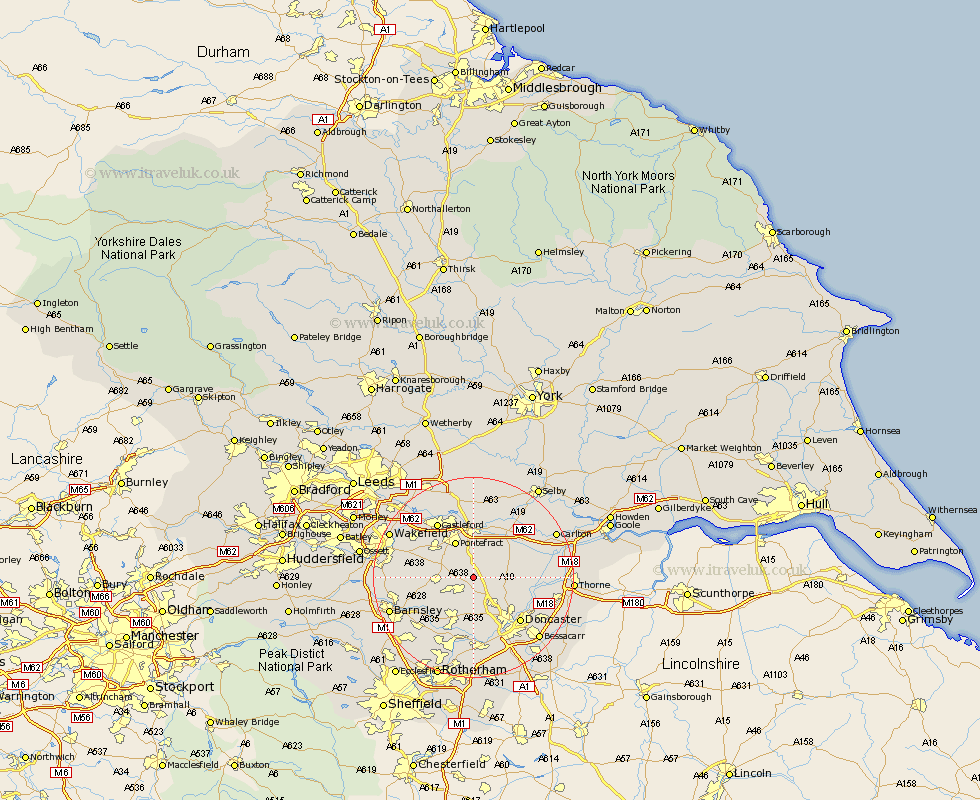
Yorkshire Map Showing Location of North Elmsall
Population: 4093
District: Wakefield
Easting: 449607 Northing: 413638
Latitude: 53.62 Longitude: -1.25
 = North Elmsall
District: Wakefield
Easting: 449607 Northing: 413638
Latitude: 53.62 Longitude: -1.25
= North Elmsall
This North Elmsall map below is supplied by Google. Use the tools in the top left corner to zoom into street level or zoom out for a road map, you may also need to zoom in to see North Elmsall on the map. Click and drag the map to move around. If the map fails to load try and refresh your browser or zoom in or out (+ or -).
Update - it seems Google no longer allow people to use their maps for free! This North Elmsall map sometimes loads and sometimes gives a error. I am working on a solution.
Closest 30 Towns or Cities to North Elmsall (Population over 500)
Upton 2.2km Badsworth 3.3km South Elmsall 4.32km Campsall 4.4km South Kirkby 4.47km Norton 4.77km Moorthorpe 4.97km Darrington 5.56km Sutton 5.8km High Ackworth 6.62km Ackworth 6.62km Ackworth Moor Top 6.62km Hemsworth 6.85km Adwick le Street 7.09km Carcroft 7.09km Brodsworth 7.5km Askern 7.7km Pontefract 8.11km Fitzwilliam 8.98km Knottingley 9.33km Knottingly 9.33km Dearne 9.84km Whitley 9.91km Houghton 9.93km Great Houghton 9.93km Little Houghton 10.69km Brotherton 11.17km Bentley 11.38km Crofton 11.6km Shafton 11.61km