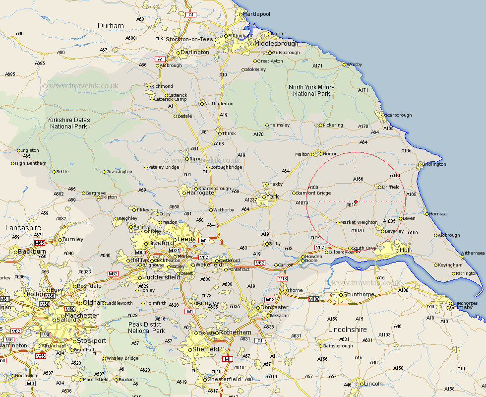
Yorkshire Map Showing Location of North Dalton
Population: 315
Easting: 494054 Northing: 451406
Latitude: 53.95 Longitude: -0.57
 = North Dalton
Easting: 494054 Northing: 451406
Latitude: 53.95 Longitude: -0.57
= North Dalton
This North Dalton map below is supplied by Google. Use the tools in the top left corner to zoom into street level or zoom out for a road map, you may also need to zoom in to see North Dalton on the map. Click and drag the map to move around. If the map fails to load try and refresh your browser or zoom in or out (+ or -).
Update - it seems Google no longer allow people to use their maps for free! This North Dalton map sometimes loads and sometimes gives a error. I am working on a solution.
Closest 30 Towns or Cities to North Dalton (Population over 500)
Wetwang 5.56km North Frodingham 5.76km Lockington 7.79km Cranswick 8.73km Cherry Burton 10.24km Driffield 10.76km Market Weighton 11.34km Leconfield 12.01km Leckonfield 12.01km Pocklington 12.14km Bishop Burton 13.69km Nafferton 14.09km Tickton 15.17km Beverley 16.28km Barmby-on-the-Moor 16.47km Barmby on the Moor 16.47km Barmby 16.47km Kilham 17.16km Fangfoss 17.54km Brandesburton 17.85km Brandsburton 17.85km Leven 17.97km Holme upon Spalding Moor 18.44km Holme 18.44km Great Driffield 18.82km Woodmansey 19.08km Skidby 19.66km Beeford 19.71km Seaton Ross 19.8km Melbourne 19.98km