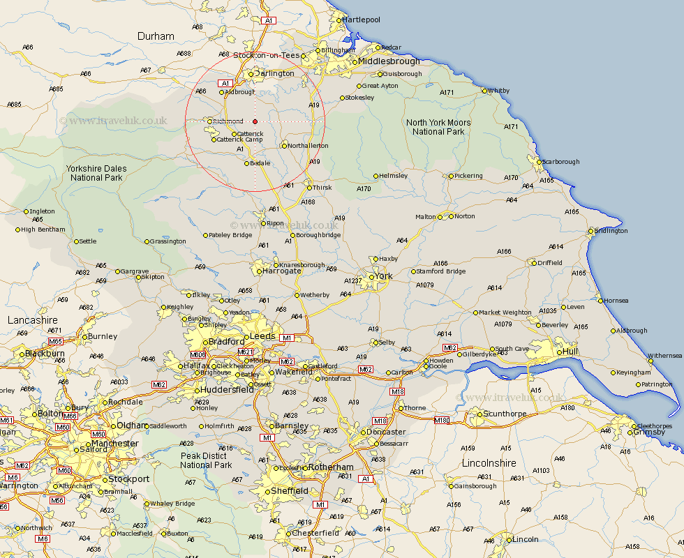
Yorkshire Map Showing Location of North Cowton
Population: 550
District: Richmondshire
Easting: 429210 Northing: 500612
Latitude: 54.4 Longitude: -1.55
 = North Cowton
District: Richmondshire
Easting: 429210 Northing: 500612
Latitude: 54.4 Longitude: -1.55
= North Cowton
This North Cowton map below is supplied by Google. Use the tools in the top left corner to zoom into street level or zoom out for a road map, you may also need to zoom in to see North Cowton on the map. Click and drag the map to move around. If the map fails to load try and refresh your browser or zoom in or out (+ or -).
Update - it seems Google no longer allow people to use their maps for free! This North Cowton map sometimes loads and sometimes gives a error. I am working on a solution.
Closest 30 Towns or Cities to North Cowton (Population over 500)
Cowton 2.15km East Cowton 2.15km Scorton 3.73km Catterick 6.55km Middleton Tyas 8.53km Barton 9.84km Brompton 10.27km Northallerton 10.59km Gilling 11.4km Richmond 11.87km Crakehall 11.93km Melsonby 12.65km Bedale 13.16km Osmotherley 16.61km Whorlton 19.5km Middleton 19.77km Middleton upon Leven 19.77km Leyburn 20.55km Masham 21.39km Middleham 21.61km West Tanfield 22.27km Tanfield 22.27km Seamer 22.8km Stokesley 23.82km Thirsk 24.76km Grewelthorpe 24.95km Great Broughton 25.41km Topcliffe 26.41km Kirkby Malzeard 26.74km Dishforth 29.12km