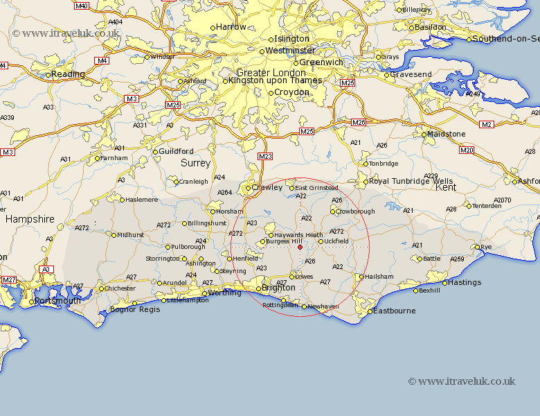
Sussex Map Showing Location of Chailey
Population: 2703
District: Lewes
Easting: 541641 Northing: 118726
Latitude: 50.95 Longitude: 0.02
 = Chailey
District: Lewes
Easting: 541641 Northing: 118726
Latitude: 50.95 Longitude: 0.02
= Chailey
This Chailey map below is supplied by Google. Use the tools in the top left corner to zoom into street level or zoom out for a road map, you may also need to zoom in to see Chailey on the map. Click and drag the map to move around. If the map fails to load try and refresh your browser or zoom in or out (+ or -).
Update - it seems Google no longer allow people to use their maps for free! This Chailey map sometimes loads and sometimes gives a error. I am working on a solution.
Closest 30 Towns or Cities to Chailey (Population over 500)
Chailey 0km Newick 1.85km Fletching 3.88km Isfield 3.96km Barcombe Mills Station 5.68km Maresfield 5.96km Uckfield 6.12km Wivelsfield 7.01km Horsted Keynes 7.77km Lindfield 8.06km Framfield 8.17km Ringmer 8.2km Plumpton 8.77km Buxted 8.97km Baywards Heath 8.97km Haywards Heath 8.97km Ditchelling 8.98km Ditchling 8.98km Lewes 9.55km Burgess Hill 10.67km Laughton 11.04km East Hoathly 11.14km Hassocks 11.15km Keymer 11.15km Kingston near Lewes 11.36km Kingston 11.36km Ardingly 11.61km Hadlow Down 12.24km Cuckfield 12.86km South Nutfield 12.86km