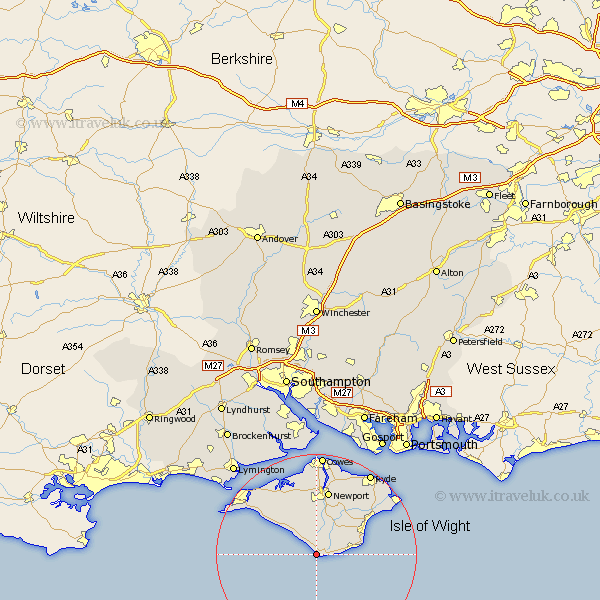
Hampshire Map Showing Location of Chale
Population: 717
Easting: 448372 Northing: 76239
Latitude: 50.58 Longitude: -1.32
 = Chale
Easting: 448372 Northing: 76239
Latitude: 50.58 Longitude: -1.32
= Chale
This Chale map below is supplied by Google. Use the tools in the top left corner to zoom into street level or zoom out for a road map, you may also need to zoom in to see Chale on the map. Click and drag the map to move around. If the map fails to load try and refresh your browser or zoom in or out (+ or -).
Update - it seems Google no longer allow people to use their maps for free! This Chale map sometimes loads and sometimes gives a error. I am working on a solution.
Closest 30 Towns or Cities to Chale (Population over 500)
Niton 2.35km Godshill 6km Shorwell 6.04km Brighstone 7.28km Brightstone 7.28km Wroxall 7.3km Rookley 7.78km Ventnor 9.59km Jentnor 9.59km Shanklin 10.12km Arreton 10.4km Calbourne 10.98km Newchurch 12.4km Newport 13.19km Sandown 13.9km Shalfleet 14.25km Wootton 15.96km Brading 16.18km Northwood 16.68km Freshwater 16.88km Totland 17.88km Yarmouth 18.32km Gurnard 18.54km East Cowes 18.57km Saint Helens 19.17km St. Helens 19.17km St Helens 19.17km Ryde 19.75km Bembridge 19.86km Cowes 20.43km