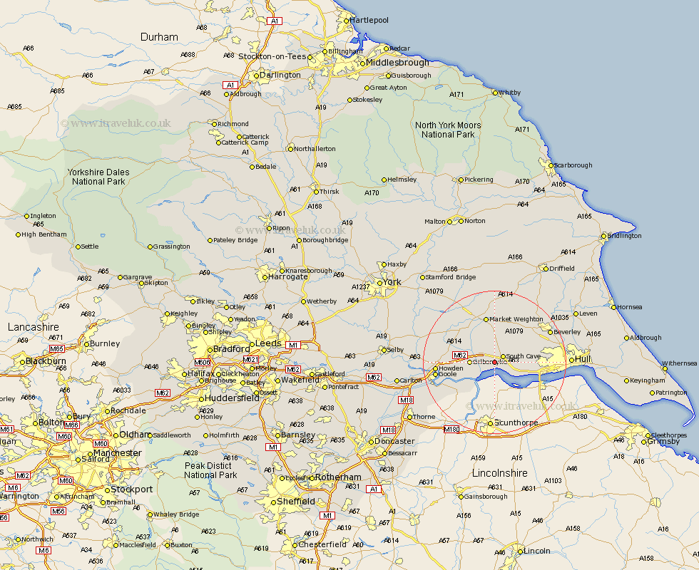
Yorkshire Map Showing Location of Newport
Population: 1538
Easting: 490109 Northing: 429072
Latitude: 53.75 Longitude: -0.63
 = Newport
Easting: 490109 Northing: 429072
Latitude: 53.75 Longitude: -0.63
= Newport
This Newport map below is supplied by Google. Use the tools in the top left corner to zoom into street level or zoom out for a road map, you may also need to zoom in to see Newport on the map. Click and drag the map to move around. If the map fails to load try and refresh your browser or zoom in or out (+ or -).
Update - it seems Google no longer allow people to use their maps for free! This Newport map sometimes loads and sometimes gives a error. I am working on a solution.
Closest 30 Towns or Cities to Newport (Population over 500)
North Cave 2.16km South Cave 2.87km Welton 4.76km Brough 6.46km North Ferriby 9.52km Ferriby 9.52km Eastrington 9.86km Swanland 10.04km Skidby 11.56km Kirk Ella 12.05km Willerby 12.19km Bishop Burton 12.75km Holme 12.75km Holme upon Spalding Moor 12.75km Market Weighton 13.16km Anlaby 13.28km Hessle 13.67km Hook 14.72km Barton 15.1km Barton upon Humber 15.1km Swinefleet 15.11km Howden 15.46km Cherry Burton 15.65km Goole 15.79km Seaton Ross 16.39km Cottingham 16.84km Beverley 16.98km Leckonfield 17.7km Leconfield 17.7km Airmyn 17.93km